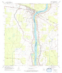
1969 Map of Simmesport
USGS Topo · Published 1979About this map
Simmesport sits at the vital junction of the Atchafalaya River and Bayou des Glaises in the late 1960s, a landscape defined by an extensive system of protective levees. The town's layout reflects its role as a regional hub, featuring the Dunbar High School and several prominent local congregations including Mt Calvary Ch and St Matthew Ch. This survey illustrates the intricate water management of the Atchafalaya Floodway, where numerous waterways like Yellow Bayou and Wilson Bayou weave through the lowlands west of the main river channel.
Find a feature on this map
39 named features on this map. Tap any name to fly to it.
Don’t see what you’re looking for? This feature index may not catch every label — zoom into the map to look around manually.
Map Details
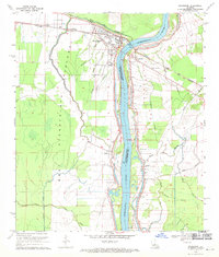
Editions of this 1969 Simmesport Map
2 editions found
Other maps of this area

1939 · Artonish
USGS Topo · 1:62,500

1941 · Voorhies
USGS Topo · 1:62,500

1941 · Batchelor
USGS Topo · 1:62,500

1953 · Natchez
USGS Topo · 1:250,000

1954 · Artonish
USGS Topo · 1:62,500

1954 · Baton Rouge
USGS Topo · 1:250,000

1955 · Artonish
USGS Topo · 1:62,500

1955 · Batchelor
USGS Topo · 1:62,500

1955 · Odenburg
USGS Topo · 1:62,500

1956 · Natchez
USGS Topo · 1:250,000