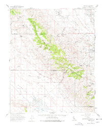
1959 Map of Simmler
USGS Topo · Published 1978About this map
The Temblor Range dominates the center of this landscape, serving as the high ground between the arid Carrizo Plain to the west and the industrial oil production zones of the San Joaquin Valley to the east. In the 1950s, the western flats were sparsely settled around the small community of Simmler, where a Community Hall served the local ranching families. The southern end of the map reveals the white expanse of Soda Lake, an alkali sink that defines the hydrology of the plain.
Find a feature on this map
42 named features on this map. Tap any name to fly to it.
Don’t see what you’re looking for? This feature index may not catch every label — zoom into the map to look around manually.
Map Details
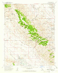
Editions of this 1959 Simmler Map
2 editions found
Other maps of this area

1912 · McKittrick
USGS Topo · 1:125,000

1914 · Lost Hills
USGS Topo · 1:125,000

1914 · Cholame
USGS Topo · 1:125,000

1915 · Cholame
USGS Topo · 1:125,000

1917 · Cholame
USGS Topo · 1:125,000

1932 · West of Goose Lake
USGS Topo · 1:31,680

1932 · La Panza
USGS Topo · 1:48,000

1934 · West of Goose Lake
USGS Topo · 1:31,680

1935 · La Panza
USGS Topo · 1:62,500

1936 · La Panza
USGS Topo · 1:62,500