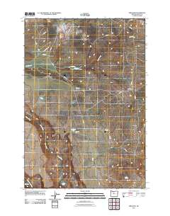
2011 Map of Simnasho
USGS Topo · Published 2011About this map
Simnasho serves as the focal point for this area on the Warm Springs Reservation, where a network of BIA and local roads connects the community with the surrounding high desert terrain. The settlement pattern is defined by traditional activity centers and geographical landmarks, such as the prominent Schoolie Flat and the water sources that sustain the landscape, including Quartz Creek and the Warm Springs River along the southern edge. Local history and genealogy are anchored by the Simnasho Cemetery and family-named landmarks like the Suppah Windmill. To the east, the map details the junction at Four Corners and the area of Kishwalks. The presence of the Happy Valley Reservoir and La Clair Spring illustrates the vital role of water management in this arid environment, providing a detailed look at the infrastructure supporting this community at the start of the 21st century.
Find a feature on this map
28 named features on this map. Tap any name to fly to it.
Don’t see what you’re looking for? This feature index may not catch every label — zoom into the map to look around manually.
Map Details
Editions of this 2011 Simnasho Map
This is the sole edition of this map. No revisions or reprints were ever made.
Other maps of this area

1928 · Madras
USGS Topo · 1:125,000

1930 · Dufur
USGS Topo · 1:125,000

1931 · Madras
USGS Topo · 1:125,000

1934 · Dufur
USGS Topo · 1:125,000

1953 · The Dalles
USGS Topo · 1:250,000

1955 · Bend
USGS Topo · 1:250,000

1956 · The Dalles
USGS Topo · 1:250,000

1957 · Bend
USGS Topo · 1:250,000

1957 · The Dalles
USGS Topo · 1:250,000

1958 · Bend
USGS Topo · 1:250,000