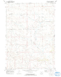
1970 Map of Simpson Draw
USGS Topo · Published 1973About this map
Simpson Draw and the West Fork Simpson Draw carve through this central Converse County landscape, defining the local hydrology and settlement patterns in the years following the 1969 aerial survey. The map records a transition toward energy extraction, noted by the presence of a Pipeline and a Gas Well in the northeastern reaches. Despite this industrial shift, the area remains anchored by long-standing ranching operations. Names like Sybrant, Hall Ranch, and York Ranch provide essential data points for genealogists and local historians tracking land use and family holdings. The drainage network, including Shawnee Creek and Smith Creek, illustrates the varied topography of this Wyoming plains region during the early 1970s.
Find a feature on this map
12 named features on this map. Tap any name to fly to it.
Don’t see what you’re looking for? This feature index may not catch every label — zoom into the map to look around manually.
Map Details
Editions of this 1970 Simpson Draw Map
2 editions found
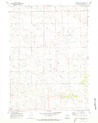
Other maps of this area

1949 · Shawnee
USGS Topo · 1:24,000

1949 · Irvine
USGS Topo · 1:24,000

1949 · Clausen Ranch
USGS Topo · 1:24,000

1949 · Orin
USGS Topo · 1:24,000

1949 · Antelope Creek
USGS Topo · 1:24,000

1950 · Clausen Ranch
USGS Topo · 1:24,000

1950 · Orin
USGS Topo · 1:24,000
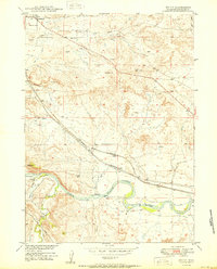
1950 · Irvine
USGS Topo · 1:24,000
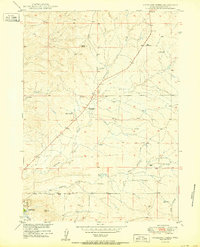
1950 · Antelope Creek
USGS Topo · 1:24,000

1950 · Shawnee
USGS Topo · 1:24,000