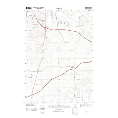
2013 Map of Simpson
USGS Topo · Published 2013About this map
Rochester expands southward into the surrounding farmland of Olmsted County in this 2013 survey, where urban infrastructure meets a landscape shaped by the N Br Root River and its tributaries. The city's growth is evident around Golden Hill and the extensive grounds of the Rochester International Airport, while smaller outlying settlements like Simpson and Judge maintain their rural identity.
Find a feature on this map
102 named features on this map. Tap any name to fly to it.
Don’t see what you’re looking for? This feature index may not catch every label — zoom into the map to look around manually.
Map Details
Editions of this 2013 Simpson Map
This is the sole edition of this map. No revisions or reprints were ever made.
Other maps of this area

1935 · Rochester
USGS Topo · 1:48,000

1939 · Rochester
USGS Topo · 1:62,500

1953 · Saint Paul
USGS Topo · 1:250,000

1954 · Mason City
USGS Topo · 1:250,000

1955 · Stewartville
USGS Topo · 1:62,500

1955 · High Forest
USGS Topo · 1:62,500

1957 · Mason City
USGS Topo · 1:250,000

1958 · Mason City
USGS Topo · 1:250,000

1959 · Saint Paul
USGS Topo · 1:250,000

1966 · Douglas
USGS Topo · 1:24,000