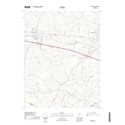
2019 Map of Simpsonville
USGS Topo · Published 2019About this map
Shelbyville and its surrounding rural corridors define the landscape in this modern-era study of Shelby County. The western edge of the county seat transitions into a network of small settlements and historical sites, including Lincoln Ridge and Simpsonville. The area's agricultural and suburban character is marked by a high density of residential roads such as Todds Point Rd and Noland Pike, which intersect the primary transit arteries like Shelbyville Rd.
Find a feature on this map
88 named features on this map. Tap any name to fly to it.
Don’t see what you’re looking for? This feature index may not catch every label — zoom into the map to look around manually.
Map Details
Editions of this 2019 Simpsonville Map
This is the sole edition of this map. No revisions or reprints were ever made.
Other maps of this area

1923 · Waddy
USGS Topo · 1:48,000

1925 · Mount Eden
USGS Topo · 1:48,000

1927 · Mount Eden
USGS Topo · 1:62,500

1928 · New Castle
USGS Topo · 1:48,000

1929 · Taylorsville
USGS Topo · 1:62,500

1932 · New Castle
USGS Topo · 1:62,500

1932 · La Grange
USGS Topo · 1:62,500

1951 · Crestwood
USGS Topo · 1:24,000

1951 · Fisherville
USGS Topo · 1:24,000

1951 · Waterford
USGS Topo · 1:24,000