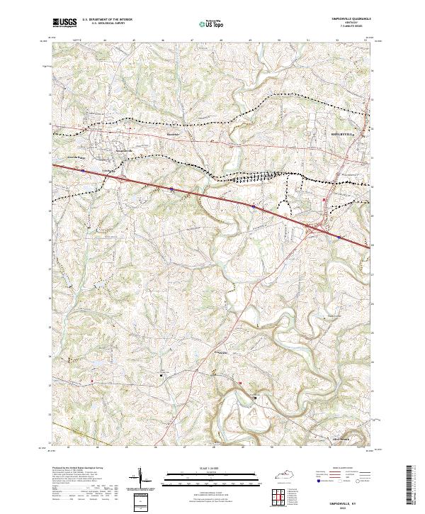
2022 Map of Simpsonville
USGS Topo · Published 2022About this map
Simpsonville and the western edge of Shelbyville anchor this survey of central Shelby County, Kentucky. The landscape is defined by a dense network of watercourses, including Bullskin Creek, Brashears Creek, and Clear Creek, which carve through the terrain between established crossroads like Finchville and Popes Corner. For genealogists and local historians, the inclusion of Buck Creek Cem and Picketts Cem provides specific points of interest for family research in this rural corridor.
Find a feature on this map
87 named features on this map. Tap any name to fly to it.
Don’t see what you’re looking for? This feature index may not catch every label — zoom into the map to look around manually.
Map Details
Editions of this 2022 Simpsonville Map
This is the sole edition of this map. No revisions or reprints were ever made.
Other maps of this area

1923 · Waddy
USGS Topo · 1:48,000

1925 · Mount Eden
USGS Topo · 1:48,000

1927 · Mount Eden
USGS Topo · 1:62,500

1928 · New Castle
USGS Topo · 1:48,000

1929 · Taylorsville
USGS Topo · 1:62,500

1932 · New Castle
USGS Topo · 1:62,500

1932 · La Grange
USGS Topo · 1:62,500

1951 · Crestwood
USGS Topo · 1:24,000

1951 · Fisherville
USGS Topo · 1:24,000

1951 · Waterford
USGS Topo · 1:24,000