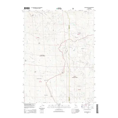
2015 Map of Sims Mountain
USGS Topo · Published 2015About this map
Sims Mountain and Castle Rock dominate the high-relief landscape along the border of Humboldt and Trinity counties. This 2015 survey details a remote section of the Six Rivers National Forest and Trinity National Forest, where the terrain is marked by dramatic elevation changes such as Big Slide and Devils Canyon. The drainage network is anchored by the South Fork Trinity River, fed by numerous tributaries including Mosquito Cr, McAlister Cr, and Grapevine Cr. Human activity in this wilderness is represented by a series of Forest Service routes and specialized landmarks like Waterbarrel Opening, Smith Opening, and Mule Bridge. These features, along with named peaks like Potato Hill and Bennett Peak, provide essential points of orientation for researchers tracking land use and resource management in the Northern California backcountry.
Find a feature on this map
50 named features on this map. Tap any name to fly to it.
Don’t see what you’re looking for? This feature index may not catch every label — zoom into the map to look around manually.
Map Details
Editions of this 2015 Sims Mountain Map
This is the sole edition of this map. No revisions or reprints were ever made.
Other maps of this area

1909 · Big Bar
USGS Topo · 1:96,000

1914 · Pilot Creek
USGS Topo · 1:62,500

1915 · Big Bar and Vicinity
USGS Topo · 1:250,000

1922 · China Flat
USGS Topo · 1:62,500

1951 · Pilot Creek
USGS Topo · 1:62,500

1951 · Hyampom
USGS Topo · 1:62,500

1951 · Ironside Mountain
USGS Topo · 1:62,500

1952 · Willow Creek
USGS Topo · 1:62,500

1958 · Redding
USGS Topo · 1:250,000
1977 · Board Camp Mtn
USGS Topo · 1:24,000