2024 Map of Singleton
USGS Topo · Published 2024About this map
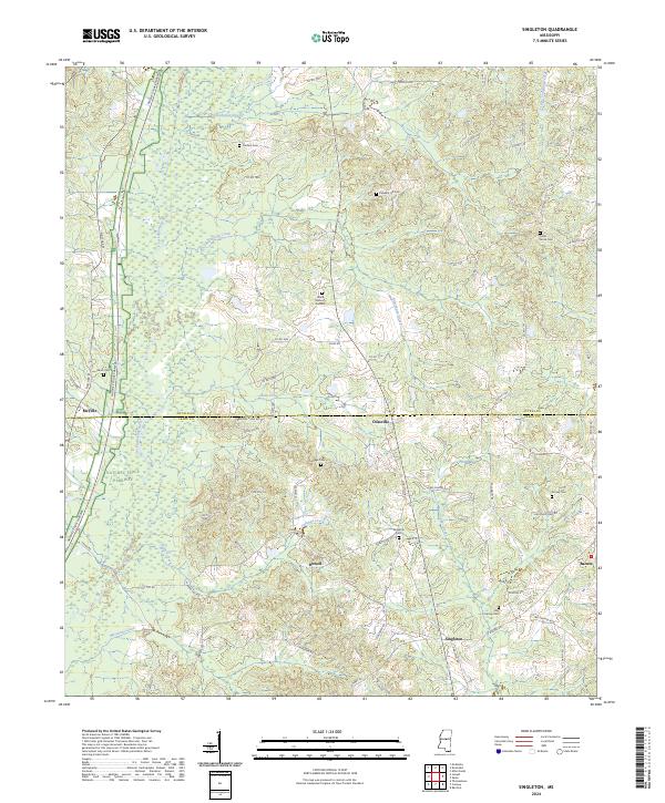
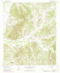
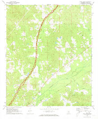
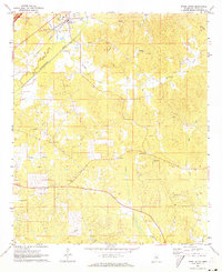
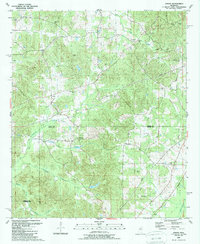
Singleton and its surrounding communities sit along the border of Attala and Leake Counties, where a network of small creeks like Socki Creek and Coleman Creek feed the Yockanookany River. The landscape is defined by the historic Natchez Trace Parkway, which cuts through the western portion of the area near McVille. This modern survey reveals a dense concentration of local burial sites, such as Fletcher Cem, Cedar Grove Cem, and Attala Memory Gardens, reflecting a deeply rooted rural population. Settlements like Dossville, Dowell, and Barnes are linked by a complex web of county roads and trails, including Ridge Rd and Old Center Rd, which follow the natural contours of the drainages. The map provides a clear picture of the contemporary spatial arrangement of these small Mississippi hamlets and their associated family-named landmarks.
Find a feature on this map
76 named features on this map. Tap any name to fly to it.
Don’t see what you’re looking for? This feature index may not catch every label — zoom into the map to look around manually.
Map Details
Editions of this 2024 Singleton Map
This is the sole edition of this map. No revisions or reprints were ever made.
Historical Maps of Knox Through Time
18 maps found
1964 Hesterville
Attala County, MS
1964 Kosciusko NE
Attala County, MS
1964 McAdams
Attala County, MS
1964 Newport
Attala County, MS
1972 Ethel North
Attala County, MS
1972 Ethel South
Attala County, MS
1989 Joseph
Attala County, MS
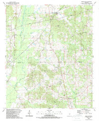
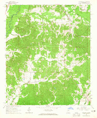
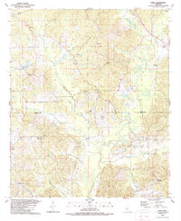
1989 Singleton
Attala County, MS
1989 Zama
Attala County, MS
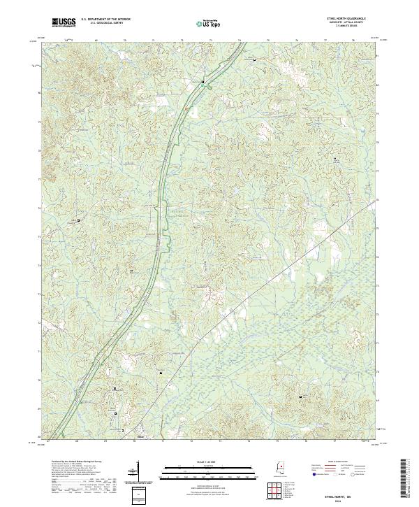
2024 Ethel North
Attala County, MS
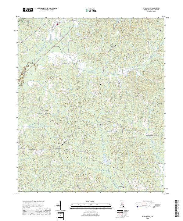
2024 Ethel South
Attala County, MS
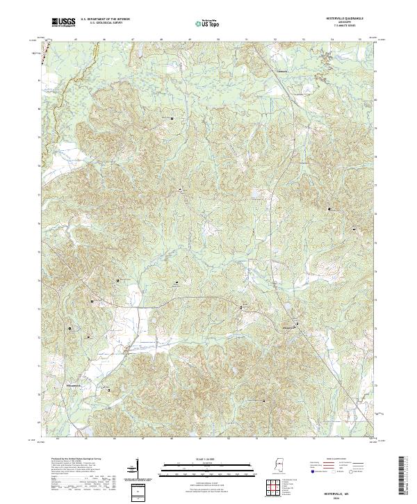
2024 Hesterville
Attala County, MS
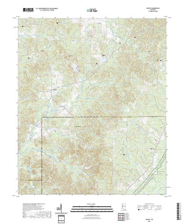
2024 Joseph
Attala County, MS
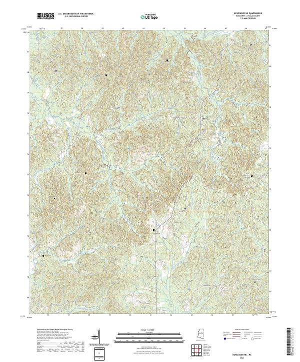
2024 Kosciusko NE
Attala County, MS
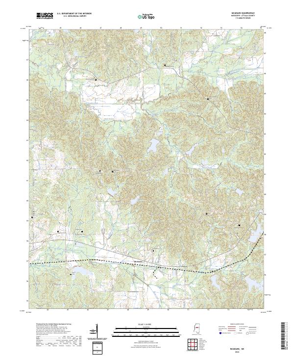
2024 McAdams
Attala County, MS
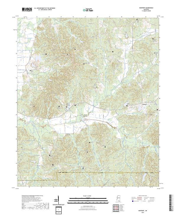
2024 Newport
Attala County, MS
2024 Singleton
Attala County, MS
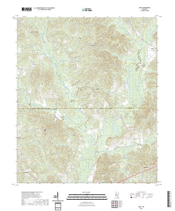
2024 Zama
Attala County, MS