
1961 Map of Singleton
USGS Topo · Published 1964About this map
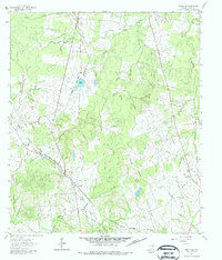
Singleton stands as the primary settlement in this corner of Grimes County during the early 1960s, situated at the junction of significant transportation corridors. The local economy and landscape are shaped by the dual paths of the Chicago Rock Island and Pacific Railroad and the Fort Worth and Denver Railroad, which intersect near the town center. This rail connectivity is complemented by an industrial presence, evidenced by a Pumping Sta and various utility pipelines cutting across the terrain.
Find a feature on this map
15 named features on this map. Tap any name to fly to it.
Don’t see what you’re looking for? This feature index may not catch every label — zoom into the map to look around manually.
Map Details
Editions of this 1961 Singleton Map
2 editions found
Other maps of this area

1931 · Iola
USGS Topo · 1:62,500

1954 · Beaumont
USGS Topo · 1:250,000

1954 · Austin
USGS Topo · 1:250,000

1956 · Carlos
USGS Topo · 1:62,500

1957 · Beaumont
USGS Topo · 1:250,000

1960 · Carlos
USGS Topo · 1:24,000

1962 · Keith
USGS Topo · 1:24,000

1962 · Richards
USGS Topo · 1:24,000
1962 · Roans Prairie
USGS Topo · 1:24,000

1963 · Bedias
USGS Topo · 1:24,000