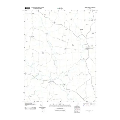
2010 Map of Sinking Spring
USGS Topo · Published 2010About this map
Serpent Mound stands as a focal point in the southern reaches of this landscape, where the waters of Ohio Brush Creek and Weasel Run converge. The area is defined by a dense network of family and community burial grounds, including the Old Dutch Cemetery, Pisgah Cemetery, and Dunkard Ridge Cemetery, suggesting a deeply rooted local history across these Highland County hills. Small settlements like Sinking Spring, Elmville, and Louden are connected by winding township roads that follow the natural drainage of the Middle Fork Ohio Brush Creek and Baker Fork. The terrain is punctuated by significant elevations such as High Knob, Fort Hill, and Jarnigan Knob, while the Sinking Spring Post Office remains a central landmark for the rural population. This survey captures a moment when the rural character remains largely intact, anchored by long-standing cemeteries and small-town junctions.
Find a feature on this map
86 named features on this map. Tap any name to fly to it.
Don’t see what you’re looking for? This feature index may not catch every label — zoom into the map to look around manually.
Map Details
Editions of this 2010 Sinking Spring Map
This is the sole edition of this map. No revisions or reprints were ever made.
Other maps of this area

1915 · Bainbridge
USGS Topo · 1:48,000

1916 · Peebles
USGS Topo · 1:62,500

1917 · Bainbridge
USGS Topo · 1:62,500

1917 · Hillsboro
USGS Topo · 1:62,500

1918 · Peebles
USGS Topo · 1:62,500

1918 · Seaman
USGS Topo · 1:62,500

1944 · Hillsboro
USGS Topo · 1:62,500

1947 · Columbus
USGS Topo · 1:250,000

1957 · Huntington
USGS Topo · 1:250,000

1960 · Huntington
USGS Topo · 1:250,000