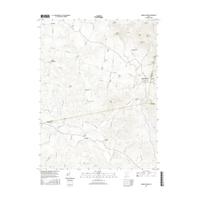
2016 Map of Sinking Spring
USGS Topo · Published 2016About this map
Serpent Mound anchors the southern portion of this landscape, where the headwaters of Ohio Brush Creek and Baker Fork carve through the terrain of southern Ohio. This area, spanning the intersection of Highland, Adams, and Pike counties, centers on the village of Sinking Spring. The map documents a predominantly rural and agricultural setting punctuated by numerous small family and community burial sites such as Old Dutch Cem, Countryman Cem, and Byrd Cem.
Find a feature on this map
105 named features on this map. Tap any name to fly to it.
Don’t see what you’re looking for? This feature index may not catch every label — zoom into the map to look around manually.
Map Details
Editions of this 2016 Sinking Spring Map
This is the sole edition of this map. No revisions or reprints were ever made.
Other maps of this area

1915 · Bainbridge
USGS Topo · 1:48,000

1916 · Peebles
USGS Topo · 1:62,500

1917 · Bainbridge
USGS Topo · 1:62,500

1917 · Hillsboro
USGS Topo · 1:62,500

1918 · Peebles
USGS Topo · 1:62,500

1918 · Seaman
USGS Topo · 1:62,500

1944 · Hillsboro
USGS Topo · 1:62,500

1947 · Columbus
USGS Topo · 1:250,000

1957 · Huntington
USGS Topo · 1:250,000

1960 · Huntington
USGS Topo · 1:250,000