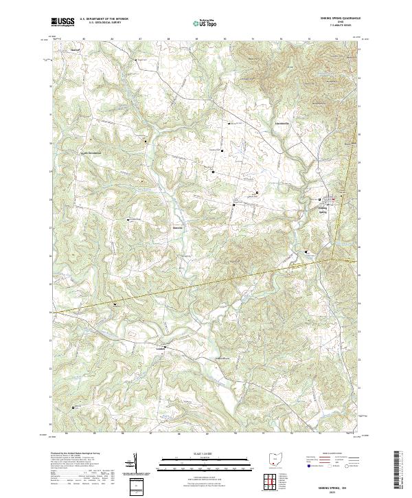
2023 Map of Sinking Spring
USGS Topo · Published 2023About this map
Serpent Mound stands as a significant cultural landmark in this section of Highland County, overlooking the waters of Ohio Brush Creek. The landscape is characterized by a series of high points, including Jarnigan Knob and Ft Hill, which define the topography near the border of Adams and Pike Counties. Small settlements like Sinking Spring, Elmville, and North Uniontown are connected by a network of rural routes such as Sinking Spring Rd and Elmville Rd.
Find a feature on this map
109 named features on this map. Tap any name to fly to it.
Don’t see what you’re looking for? This feature index may not catch every label — zoom into the map to look around manually.
Map Details
Editions of this 2023 Sinking Spring Map
This is the sole edition of this map. No revisions or reprints were ever made.
Other maps of this area

1915 · Bainbridge
USGS Topo · 1:48,000

1916 · Peebles
USGS Topo · 1:62,500

1917 · Bainbridge
USGS Topo · 1:62,500

1917 · Hillsboro
USGS Topo · 1:62,500

1918 · Peebles
USGS Topo · 1:62,500

1918 · Seaman
USGS Topo · 1:62,500

1944 · Hillsboro
USGS Topo · 1:62,500

1947 · Columbus
USGS Topo · 1:250,000

1957 · Huntington
USGS Topo · 1:250,000

1960 · Huntington
USGS Topo · 1:250,000