
1945 Map of Sinnemahoning
USGS Topo · Published 1954About this map
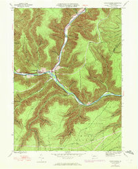
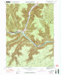
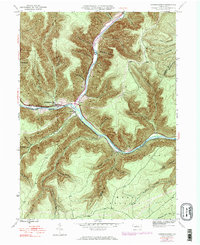
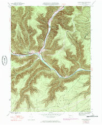
Sinnemahoning Creek and its major northern tributary, the First Fork Sinnemahoning Creek, dictate the movement and settlement patterns of this remote river valley. In the mid-1940s, the community of Sinnemahoning served as a key junction for the Pennsylvania and Baltimore and Ohio railroads, which hug the narrow banks beneath steep ridges. The terrain is deeply dissected by numerous named hollows and drafts, such as Lick Draft and Pumpkin Hollow, while smaller hamlets like Jericho, Wyside, and Driftwood occupy the limited level ground near the water. For genealogists, the Miller Cem is a notable landmark along the First Fork, providing a focal point for family research in this sparsely populated region of Grove and Keating townships. The map illustrates the dominance of the river-and-rail economy, where narrow corridors of infrastructure pierce a landscape of high, densely forested hills.
Find a feature on this map
51 named features on this map. Tap any name to fly to it.
Don’t see what you’re looking for? This feature index may not catch every label — zoom into the map to look around manually.
Map Details
Editions of this 1945 Sinnemahoning Map
5 editions found
Other maps of this area

1928 · Snow Shoe
USGS Topo · 1:48,000

1929 · Karthaus
USGS Topo · 1:62,500

1931 · Show Shoe
USGS Topo · 1:62,500

1932 · Karthaus
USGS Topo · 1:62,500

1945 · Driftwood
USGS Topo · 1:48,000

1945 · First Fork
USGS Topo · 1:24,000

1945 · Driftwood
USGS Topo · 1:24,000

1945 · Cameron
USGS Topo · 1:24,000

1946 · Renovo West
USGS Topo · 1:62,500

1946 · Hammersley Fork
USGS Topo · 1:24,000
Featured Places
- West Keating Township, PA
- East Keating Township, PA
- Wyside, Grove Township
- Jericho, Grove Township
- Grove Township, PA