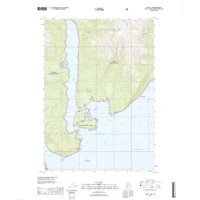
2017 Map of Sitka A-1 NW
USGS Topo · Published 2017About this map
Wolfe Cabin sits along the northern shore of Woewodski Harbor, providing a rare named man-made landmark in this maritime wilderness. The landscape is defined by the intricate coastal inlets of the Tongass National Forest, where steep terrain drops directly into the Gulf of Alaska. Deep water channels like Eliza Harbor and Chapin Bay cut into the shoreline, creating a complex network of points and passages. Navigation is the primary theme of the geography here, with numerous landmarks such as Point Napean and Liesnoi Island marking the transition between protected harbors and the open Pacific Ocean. The presence of North Passage and South Passage indicates the vital transit corridors used to navigate around the various islands and peninsulas that characterize this portion of the Alexander Archipelago.
Find a feature on this map
29 named features on this map. Tap any name to fly to it.
Don’t see what you’re looking for? This feature index may not catch every label — zoom into the map to look around manually.
Map Details
Editions of this 2017 Sitka A-1 NW Map
This is the sole edition of this map. No revisions or reprints were ever made.
Other maps of this area

1948 · Sitka B-1
USGS Topo · 1:63,360

1948 · Sitka A-2
USGS Topo · 1:63,360

1948 · Sitka B-2
USGS Topo · 1:63,360

1948 · Sitka A-1
USGS Topo · 1:63,360

1951 · Sitka
USGS Topo · 1:250,000

1951 · Sitka A-2
USGS Topo · 1:63,360

1951 · Sitka B-2
USGS Topo · 1:63,360

1951 · Sitka B-1
USGS Topo · 1:63,360

1952 · Sitka
USGS Topo · 1:250,000

1964 · Sitka
USGS Topo · 1:250,000