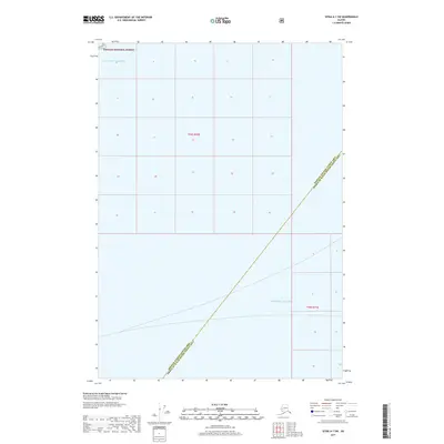
2017 Map of Sitka A-1 SW
USGS Topo · Published 2017About this map
Tongass National Forest dominates the northern reaches of this coastal Alaskan landscape, where the land meets the massive waters of the Gulf of Alaska. The map illustrates a remote maritime boundary zone at the edge of the Pacific Ocean, defined by its massive water bodies rather than terrestrial settlements. This 2017 survey captures a jurisdictional intersection where the Hoonah-Angoon Census Area meets the Prince of Wales-Hyder Census Area. The absence of roads, structures, or named inland landmarks emphasizes the wilderness character of this region, which is managed as part of the nation's largest national forest. Researchers will find the Public Land Survey System grid lines for t55s r70e and t56s r71e, providing a precise geographic framework for this uninhabited stretch of the Alaskan coastline.
Find a feature on this map
6 named features on this map. Tap any name to fly to it.
Don’t see what you’re looking for? This feature index may not catch every label — zoom into the map to look around manually.
Map Details
Editions of this 2017 Sitka A-1 SW Map
This is the sole edition of this map. No revisions or reprints were ever made.
Other maps of this area

1948 · Sitka A-2
USGS Topo · 1:63,360

1948 · Port Alexander D-1
USGS Topo · 1:63,360

1948 · Sitka A-1
USGS Topo · 1:63,360

1951 · Sitka
USGS Topo · 1:250,000

1951 · Port Alexander
USGS Topo · 1:250,000

1951 · Port Alexander D-2
USGS Topo · 1:63,360

1951 · Sitka A-2
USGS Topo · 1:63,360

1952 · Port Alexander
USGS Topo · 1:250,000

1952 · Sitka
USGS Topo · 1:250,000

1964 · Sitka
USGS Topo · 1:250,000