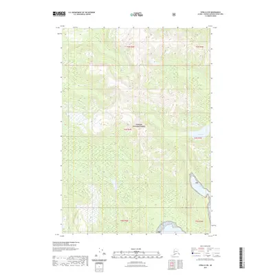
2021 Map of Sitka A-2 NE
USGS Topo · Published 2021About this map
Tongass National Forest covers this vast expanse of Southeast Alaskan wilderness, where the high ridges of Mt Saffran dominate the southern interior. The landscape is defined by steep glacial topography and an intricate network of drainages that feed into coastal waters. To the east, the map captures the transition from alpine elevations down to the shoreline of Chapin Bay, a protected inlet off the larger Admiralty Island coast. Further north, the secluded Eliza Lake sits within a high basin, surrounded by the dense forest cover characteristic of this maritime environment. This 2021 survey by the U.S. Geological Survey details the complex public land survey system grid, including townships like t54s r69e and t55s r70e, providing a precise look at the remote topography of the Hoonah-Angoon Census Area.
Find a feature on this map
11 named features on this map. Tap any name to fly to it.
Don’t see what you’re looking for? This feature index may not catch every label — zoom into the map to look around manually.
Map Details
Editions of this 2021 Sitka A-2 NE Map
This is the sole edition of this map. No revisions or reprints were ever made.
Other maps of this area

1948 · Sitka B-1
USGS Topo · 1:63,360

1948 · Sitka A-2
USGS Topo · 1:63,360

1948 · Sitka B-2
USGS Topo · 1:63,360

1948 · Sitka A-1
USGS Topo · 1:63,360

1951 · Sitka
USGS Topo · 1:250,000

1951 · Sitka A-2
USGS Topo · 1:63,360

1951 · Sitka B-2
USGS Topo · 1:63,360

1951 · Sitka B-1
USGS Topo · 1:63,360

1952 · Sitka
USGS Topo · 1:250,000

1964 · Sitka
USGS Topo · 1:250,000