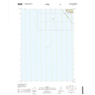
2017 Map of Sitka A-6 OE S NW
USGS Topo · Published 2017About this map
Gulf of Alaska waters dominate this coastal survey, where the extreme edge of the Sitka archipelago meets the open ocean. The map documents a small, jagged projection of land within the Tongass National Forest, specifically featuring the prominent landform of Cape Edgecumbe. This point of land, accompanied by Trubitsin Point, represents the southwestern-most reach of Kruzof Island. The geography shown here is almost entirely maritime, punctuated by these specific coastal landmarks that have served as vital navigational markers for the Alaska Sitka Borough. The grid structure of Township 56 South, Range 60 East is superimposed over the terrain, illustrating the precise surveying of these remote coastal boundaries within the largest national forest in the United States.
Find a feature on this map
22 named features on this map. Tap any name to fly to it.
Don’t see what you’re looking for? This feature index may not catch every label — zoom into the map to look around manually.
Map Details
Editions of this 2017 Sitka A-6 OE S NW Map
This is the sole edition of this map. No revisions or reprints were ever made.
Other maps of this area

1951 · Sitka A-6
USGS Topo · 1:63,360

1951 · Sitka
USGS Topo · 1:250,000

1951 · Port Alexander
USGS Topo · 1:250,000

1952 · Port Alexander
USGS Topo · 1:250,000

1952 · Sitka
USGS Topo · 1:250,000

1964 · Sitka
USGS Topo · 1:250,000

1964 · Port Alexander
USGS Topo · 1:250,000
2017 · Sitka A-6 OE S NE
USGS Topo · 1:25,000
2017 · Sitka A-6 SW
USGS Topo · 1:25,000
2017 · Sitka A-6 SE
USGS Topo · 1:25,000