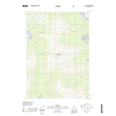
2021 Map of Sitka B-1 SW
USGS Topo · Published 2021About this map
Soapberry Mtn and Bear Pass Mtn dominate the vertical relief of this landscape within the Tongass National Forest. The 2021 survey reveals a territory primarily defined by its topographic extremes and hydrography, with the coastal interface of South Arm Hood Bay reaching into the western edge of the quadrangle. The map details the Public Land Survey System grids, including t52s r69e, t52s r70e, and t53s r70e, which provide the administrative structure for this wilderness. The lack of named roads or settlements suggests a region managed for its natural resources and conservation, where the primary identifiers are peaks and maritime inlets rather than human infrastructure.
Find a feature on this map
9 named features on this map. Tap any name to fly to it.
Don’t see what you’re looking for? This feature index may not catch every label — zoom into the map to look around manually.
Map Details
Editions of this 2021 Sitka B-1 SW Map
This is the sole edition of this map. No revisions or reprints were ever made.
Other maps of this area

1948 · Sitka B-1
USGS Topo · 1:63,360

1948 · Sitka A-2
USGS Topo · 1:63,360

1948 · Sitka B-2
USGS Topo · 1:63,360

1948 · Sitka A-1
USGS Topo · 1:63,360

1951 · Sitka
USGS Topo · 1:250,000

1951 · Sitka A-2
USGS Topo · 1:63,360

1951 · Sitka B-2
USGS Topo · 1:63,360

1951 · Sitka B-1
USGS Topo · 1:63,360

1952 · Sitka
USGS Topo · 1:250,000

1964 · Sitka
USGS Topo · 1:250,000