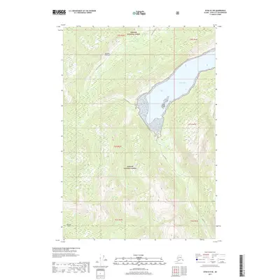
2017 Map of Sitka B-5 NE
USGS Topo · Published 2017About this map
Rodman Bay dominates this coastal landscape on Baranof Island, cutting a deep glacial fjord into the mountainous terrain of the Tongass National Forest. The map documents the intricate coastline where the Duffield Peninsula forms a natural barrier against the open waters. Within the bay, the Lauf Islands sit near the tidal flats where Rodman Cr meets the sea. The steep, densely contoured ridges surrounding Appleton Cove illustrate the characteristic verticality of the Alexander Archipelago, showing a wilderness landscape defined by water and woods. This 2017 edition provides a precise record of the shoreline and elevation markers for a region where transport remains primarily maritime or aerial, far from the established road networks of the mainland.
Find a feature on this map
13 named features on this map. Tap any name to fly to it.
Don’t see what you’re looking for? This feature index may not catch every label — zoom into the map to look around manually.
Map Details
Editions of this 2017 Sitka B-5 NE Map
This is the sole edition of this map. No revisions or reprints were ever made.
Other maps of this area

1948 · Sitka B-5
USGS Topo · 1:63,360

1951 · Sitka B-4
USGS Topo · 1:63,360

1951 · Sitka C-5
USGS Topo · 1:63,360

1951 · Sitka C-4
USGS Topo · 1:63,360

1951 · Sitka B-5
USGS Topo · 1:63,360

1951 · Sitka
USGS Topo · 1:250,000

1952 · Sitka
USGS Topo · 1:250,000

1964 · Sitka
USGS Topo · 1:250,000
1996 · Sitka B-5
USGS Topo · 1:63,360
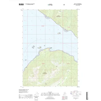
2017 · Sitka C-5 SE
USGS Topo · 1:25,000