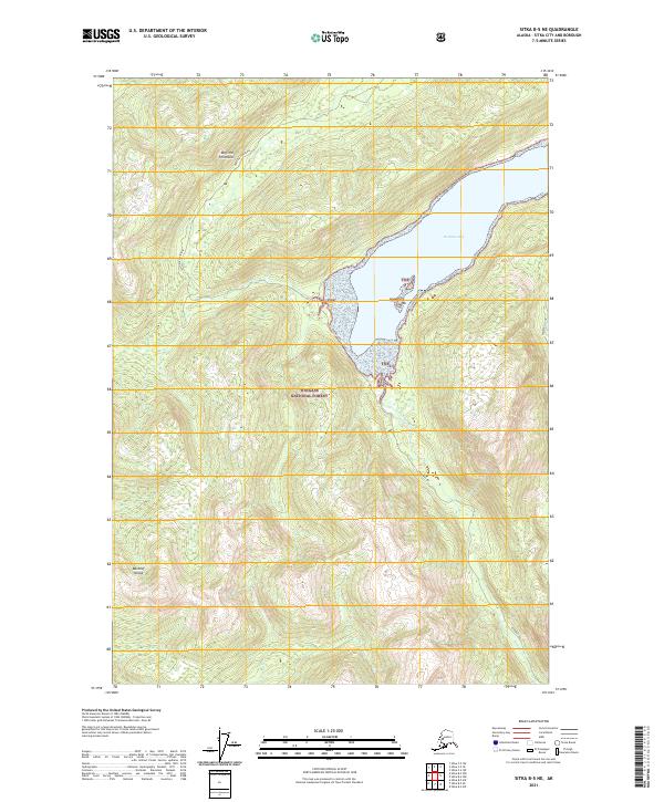
2021 Map of Sitka B-5 NE
USGS Topo · Published 2021About this map
Rodman Bay dominates the maritime landscape of this coastal survey, where the deep waters of the fjord meet the dense woodlands of the Tongass National Forest. The map documents the intricate shoreline where Rodman Cr feeds into the bay from the south, creating a transitional aquatic environment near the Lauf Islands. Situated on Baranof Island, the terrain is defined by steep elevation changes, with the northern reach of the Duffield Peninsula and the eastern inlet of Appleton Cove providing sheltered anchorages. This 2021 update captures the region in its modern state as part of the Sitka City and Borough, reflecting a landscape where wilderness and waterway are the primary features, largely untouched by major roadway infrastructure and defined instead by the natural contours of the Alexander Archipelago.
Find a feature on this map
15 named features on this map. Tap any name to fly to it.
Don’t see what you’re looking for? This feature index may not catch every label — zoom into the map to look around manually.
Map Details
Editions of this 2021 Sitka B-5 NE Map
This is the sole edition of this map. No revisions or reprints were ever made.
Other maps of this area

1948 · Sitka B-5
USGS Topo · 1:63,360

1951 · Sitka B-4
USGS Topo · 1:63,360

1951 · Sitka C-5
USGS Topo · 1:63,360

1951 · Sitka C-4
USGS Topo · 1:63,360

1951 · Sitka B-5
USGS Topo · 1:63,360

1951 · Sitka
USGS Topo · 1:250,000

1952 · Sitka
USGS Topo · 1:250,000

1964 · Sitka
USGS Topo · 1:250,000
1996 · Sitka B-5
USGS Topo · 1:63,360
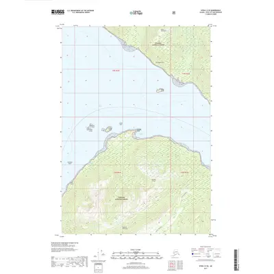
2017 · Sitka C-5 SE
USGS Topo · 1:25,000