
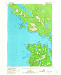
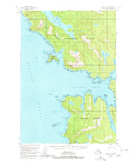
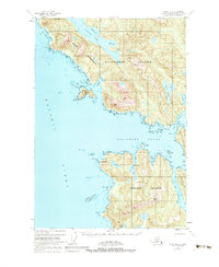
1951 Map of Sitka B-6
USGS Topo · Published 1956About this map
The intricate waterways of the Alexander Archipelago dominate this early 1950s survey, highlighting the convergence of Kruzof Island, Chichagof Island, and Baranof Island. This maritime landscape is defined by deep inlets and protected passages like Salisbury Sound and the narrow Kakul Narrows. The interior terrain of Kruzof Island is marked by significant elevations such as Mt Georgiana and tucked-away freshwater bodies like Lake Surprise.
Find a feature on this map
54 named features on this map. Tap any name to fly to it.
Don’t see what you’re looking for? This feature index may not catch every label — zoom into the map to look around manually.
Map Details
Editions of this 1951 Sitka B-6 Map
4 editions found
Other maps of this area

1948 · Sitka A-5
USGS Topo · 1:63,360

1948 · Sitka C-7
USGS Topo · 1:63,360

1948 · Sitka C-6
USGS Topo · 1:63,360

1948 · Sitka B-5
USGS Topo · 1:63,360

1951 · Sitka C-5
USGS Topo · 1:63,360

1951 · Sitka A-6
USGS Topo · 1:63,360

1951 · Sitka B-5
USGS Topo · 1:63,360

1951 · Sitka
USGS Topo · 1:250,000

1951 · Sitka C-6
USGS Topo · 1:63,360

1951 · Sitka A-5
USGS Topo · 1:63,360