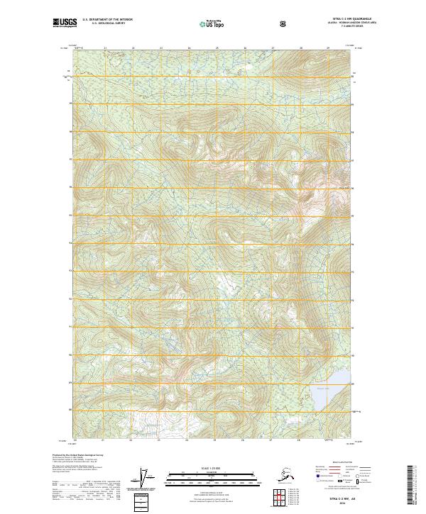
2024 Map of Sitka C-2 NW
USGS Topo · Published 2024About this map
Admiralty Island National Monument and the surrounding Tongass National Forest dominate this portion of the Alexander Archipelago. The landscape is defined by the high point of Thayer Peak and the drainage patterns of Fishery Creek to the north and Thayer Creek to the south. This modern survey illustrates a protected wilderness environment where human settlement is absent, preserving the original character of the Alaskan island interior. Significant hydrological features include the northern reach of Thayer Lake, which sits within the designated Kootznoowoo Wilderness. The map provides a precise account of the natural topography and protected land boundaries that govern this part of the Hoonah-Angoon Census Area.
Find a feature on this map
13 named features on this map. Tap any name to fly to it.
Don’t see what you’re looking for? This feature index may not catch every label — zoom into the map to look around manually.
Map Details
Editions of this 2024 Sitka C-2 NW Map
This is the sole edition of this map. No revisions or reprints were ever made.
Other maps of this area

1948 · Sitka C-2
USGS Topo · 1:63,360

1948 · Sitka C-3
USGS Topo · 1:63,360

1948 · Sitka D-3
USGS Topo · 1:63,360

1948 · Sitka D-2
USGS Topo · 1:63,360

1951 · Sitka
USGS Topo · 1:250,000

1951 · Sitka D-3
USGS Topo · 1:63,360

1951 · Sitka C-3
USGS Topo · 1:63,360

1951 · Sitka D-2
USGS Topo · 1:63,360

1951 · Sitka C-2
USGS Topo · 1:63,360

1952 · Sitka
USGS Topo · 1:250,000