
1951 Map of Sitka D-3
USGS Topo · Published 1965About this map
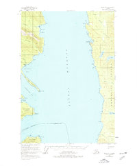
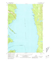
Chatham Strait divides this mid-century coastal landscape, separating the eastern shores of Chichagof Island from the western coastline of Admiralty Island. On the Chichagof side, the settlement of Gypsum is situated near a tidal flat at the head of Iyoukeen Cove, marking a rare point of human activity along the shoreline. This area is characterized by deep saltwater penetrations like Tenakee Inlet and Freshwater Bay, which cut into the landmass of the Tongass National Forest. On the opposite shore, Admiralty Island features several freshwater bodies including Peanut Lake, Lake Kathleen, and Lake Florence. Small structures are noted at Cube Cove and near Fishery Creek, reflecting the early maritime and resource-gathering footprint in the region. The map captures a moment before modern development, where navigation relied on prominent landmarks like North Passage Pt and Pt Hepburn.
Find a feature on this map
31 named features on this map. Tap any name to fly to it.
Don’t see what you’re looking for? This feature index may not catch every label — zoom into the map to look around manually.
Map Details
Editions of this 1951 Sitka D-3 Map
3 editions found
Other maps of this area

1948 · Juneau A-3
USGS Topo · 1:63,360

1948 · Juneau A-4
USGS Topo · 1:63,360

1948 · Sitka C-2
USGS Topo · 1:63,360

1948 · Sitka C-3
USGS Topo · 1:63,360

1948 · Sitka D-3
USGS Topo · 1:63,360

1948 · Sitka D-2
USGS Topo · 1:63,360

1948 · Sitka D-4
USGS Topo · 1:63,360

1950 · Juneau A-3
USGS Topo · 1:63,360

1951 · Juneau
USGS Topo · 1:250,000

1951 · Juneau A-2
USGS Topo · 1:63,360