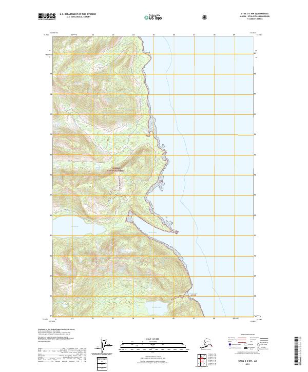
2021 Map of Sitka C-3 NW
USGS Topo · Published 2021About this map
Tongass National Forest covers this coastal stretch of the Alexander Archipelago, where the maritime landscape is defined by deep inlets and freshwater systems. The map detail highlights the hydrological connection between inland waters and the sea, specifically the drainage from Basket Lake through Basket Cr into the sheltered waters of Basket Bay. Further north, Kook Lake and its corresponding Kook Cr illustrate the typical temperate rainforest topography of the Sitka region.
Find a feature on this map
21 named features on this map. Tap any name to fly to it.
Don’t see what you’re looking for? This feature index may not catch every label — zoom into the map to look around manually.
Map Details
Editions of this 2021 Sitka C-3 NW Map
This is the sole edition of this map. No revisions or reprints were ever made.
Other maps of this area

1948 · Sitka C-3
USGS Topo · 1:63,360

1948 · Sitka D-3
USGS Topo · 1:63,360

1948 · Sitka D-4
USGS Topo · 1:63,360

1951 · Sitka C-4
USGS Topo · 1:63,360

1951 · Sitka
USGS Topo · 1:250,000

1951 · Sitka D-3
USGS Topo · 1:63,360

1951 · Sitka C-3
USGS Topo · 1:63,360

1952 · Sitka
USGS Topo · 1:250,000

1955 · Sitka D-4
USGS Topo · 1:63,360

1964 · Sitka
USGS Topo · 1:250,000