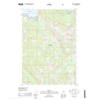
2017 Map of Sitka C-4 NE
USGS Topo · Published 2017About this map
The Tongass National Forest on Chichagof Island is defined by a network of industrial access and water resources in this 2017 survey. The Corner Bay Work Center serves as a primary hub for operations in the northern section, connected by the Corner Bay Main Line and the Corner Creek N route. This infrastructure follows the natural drainages of Muri Creek and Corner Cr, illustrating how human activity is structured around the steep terrain and the island's interior waterways.
Find a feature on this map
23 named features on this map. Tap any name to fly to it.
Don’t see what you’re looking for? This feature index may not catch every label — zoom into the map to look around manually.
Map Details
Editions of this 2017 Sitka C-4 NE Map
This is the sole edition of this map. No revisions or reprints were ever made.
Other maps of this area

1948 · Sitka C-3
USGS Topo · 1:63,360

1948 · Sitka D-3
USGS Topo · 1:63,360

1948 · Sitka D-4
USGS Topo · 1:63,360

1951 · Sitka C-4
USGS Topo · 1:63,360

1951 · Sitka
USGS Topo · 1:250,000

1951 · Sitka D-3
USGS Topo · 1:63,360

1951 · Sitka C-3
USGS Topo · 1:63,360

1952 · Sitka
USGS Topo · 1:250,000

1955 · Sitka D-4
USGS Topo · 1:63,360

1964 · Sitka
USGS Topo · 1:250,000