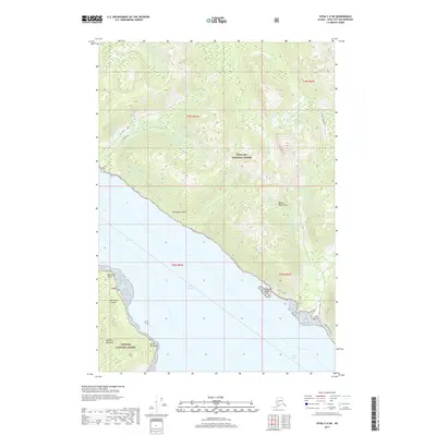
2017 Map of Sitka C-4 SW
USGS Topo · Published 2017About this map
Chichagof Island and the northern tip of Baranof Island are separated by the waters of Peril Strait in this coastal Alaskan landscape. Located within the Tongass National Forest, the map detail focuses on the maritime environment of the Alexander Archipelago, where the Duffield Peninsula reaches toward Point Elizabeth. The topographic detail reveals the sharp rise of the Moore Mountains and the drainage patterns of Tonalite Creek and the West Fork Sitkoh River. This 2017 survey documents the modern road access in the southeast corner, including the Sitkoh Lake Loop and Ocean Blvd Road near False Island. The map provides a clear picture of the relationship between the deep coastal inlets and the high forest ridges, tracing named points such as Peschani Point and small waterways like Oly Creek.
Find a feature on this map
20 named features on this map. Tap any name to fly to it.
Don’t see what you’re looking for? This feature index may not catch every label — zoom into the map to look around manually.
Map Details
Editions of this 2017 Sitka C-4 SW Map
This is the sole edition of this map. No revisions or reprints were ever made.
Other maps of this area

1948 · Sitka B-5
USGS Topo · 1:63,360

1951 · Sitka B-4
USGS Topo · 1:63,360

1951 · Sitka C-5
USGS Topo · 1:63,360

1951 · Sitka C-4
USGS Topo · 1:63,360

1951 · Sitka B-5
USGS Topo · 1:63,360

1951 · Sitka
USGS Topo · 1:250,000

1952 · Sitka
USGS Topo · 1:250,000

1964 · Sitka
USGS Topo · 1:250,000
1996 · Sitka B-5
USGS Topo · 1:63,360
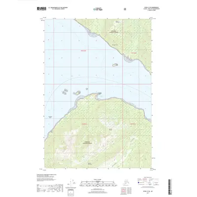
2017 · Sitka C-5 SE
USGS Topo · 1:25,000