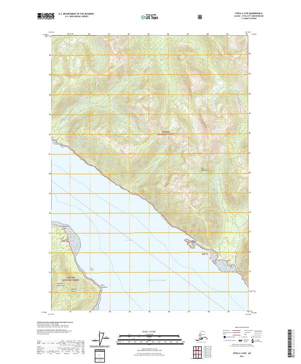
2021 Map of Sitka C-4 SW
USGS Topo · Published 2021About this map
Peril Strait dominates this coastal survey, where the saltwater corridor separates Baranof Island from the northern reaches of the Tongass National Forest. The map details a landscape defined by sharp transitions from the shoreline at Peschani Point and Point Elizabeth to the steep elevations of the Moore Mountains. The water network is intricate, featuring drainages like Tonalite Cr and the West Fork Sitkoh River that flow through the timberlands. Notable for local researchers is the Duffield Peninsula and the small landform of False Island. Modern infrastructure is represented by the Sitkoh Lake Loop and the uniquely named Ocean Blvd Road Trl, providing a clear record of forest access roads and maritime landmarks in this part of Southeast Alaska.
Find a feature on this map
21 named features on this map. Tap any name to fly to it.
Don’t see what you’re looking for? This feature index may not catch every label — zoom into the map to look around manually.
Map Details
Editions of this 2021 Sitka C-4 SW Map
This is the sole edition of this map. No revisions or reprints were ever made.
Other maps of this area

1948 · Sitka B-5
USGS Topo · 1:63,360

1951 · Sitka B-4
USGS Topo · 1:63,360

1951 · Sitka C-5
USGS Topo · 1:63,360

1951 · Sitka C-4
USGS Topo · 1:63,360

1951 · Sitka B-5
USGS Topo · 1:63,360

1951 · Sitka
USGS Topo · 1:250,000

1952 · Sitka
USGS Topo · 1:250,000

1964 · Sitka
USGS Topo · 1:250,000
1996 · Sitka B-5
USGS Topo · 1:63,360
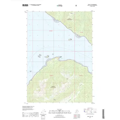
2017 · Sitka C-5 SE
USGS Topo · 1:25,000