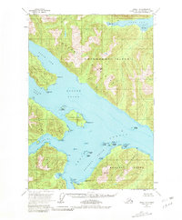
1951 Map of Sitka C-5
USGS Topo · Published 1981About this map
Chichagof Island and Baranof Island dominate this coastal survey, separated by the intricate waterways of Peril Strait and Deadman Reach. The landscape is defined by its deep inlets and steep maritime topography, from the heights of Finger Mtn in the Moore Mountains down to the complex shorelines of Hoonah Sound and Ush K Bay. The map records a wilderness largely devoid of terrestrial infrastructure, where the primary markers are coastal landmarks used for navigation.
Find a feature on this map
39 named features on this map. Tap any name to fly to it.
Don’t see what you’re looking for? This feature index may not catch every label — zoom into the map to look around manually.
Map Details
Editions of this 1951 Sitka C-5 Map
4 editions found
Other maps of this area

1948 · Sitka D-5
USGS Topo · 1:63,360

1948 · Sitka D-4
USGS Topo · 1:63,360

1948 · Sitka C-6
USGS Topo · 1:63,360

1948 · Sitka D-6
USGS Topo · 1:63,360

1948 · Sitka B-5
USGS Topo · 1:63,360

1951 · Sitka B-4
USGS Topo · 1:63,360

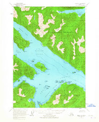
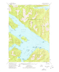
1951 · Sitka C-5
USGS Topo · 1:63,360

1951 · Sitka B-6
USGS Topo · 1:63,360

1951 · Sitka C-4
USGS Topo · 1:63,360

1951 · Sitka B-5
USGS Topo · 1:63,360