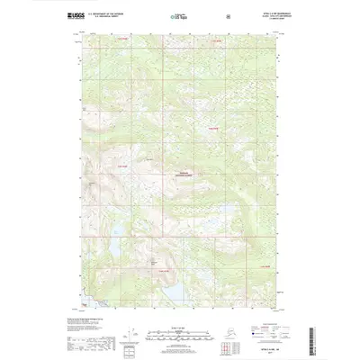
2017 Map of Sitka C-6 NW
USGS Topo · Published 2017About this map
Tongass National Forest covers this stretch of the Alexander Archipelago, showing a landscape defined by dramatic elevation changes and a network of glacial waterways. The terrain is anchored by several prominent summits, including Hirst Mtn, Rust Mtn, and the high point of Pinnacle Peak. These peaks overlook a drainage system where Black River and Marble Cr cut through the timbered slopes. In the lower elevations, Rust Lake sits as a significant catchment for the surrounding drainage basin.
Find a feature on this map
15 named features on this map. Tap any name to fly to it.
Don’t see what you’re looking for? This feature index may not catch every label — zoom into the map to look around manually.
Map Details
Editions of this 2017 Sitka C-6 NW Map
This is the sole edition of this map. No revisions or reprints were ever made.
Other maps of this area

1948 · Sitka C-7
USGS Topo · 1:63,360

1948 · Sitka C-6
USGS Topo · 1:63,360

1948 · Sitka D-6
USGS Topo · 1:63,360

1951 · Sitka D-7
USGS Topo · 1:63,360

1951 · Sitka
USGS Topo · 1:250,000

1951 · Sitka C-6
USGS Topo · 1:63,360

1951 · Sitka C-7
USGS Topo · 1:63,360

1951 · Sitka D-6
USGS Topo · 1:63,360

1952 · Sitka
USGS Topo · 1:250,000

1964 · Sitka
USGS Topo · 1:250,000