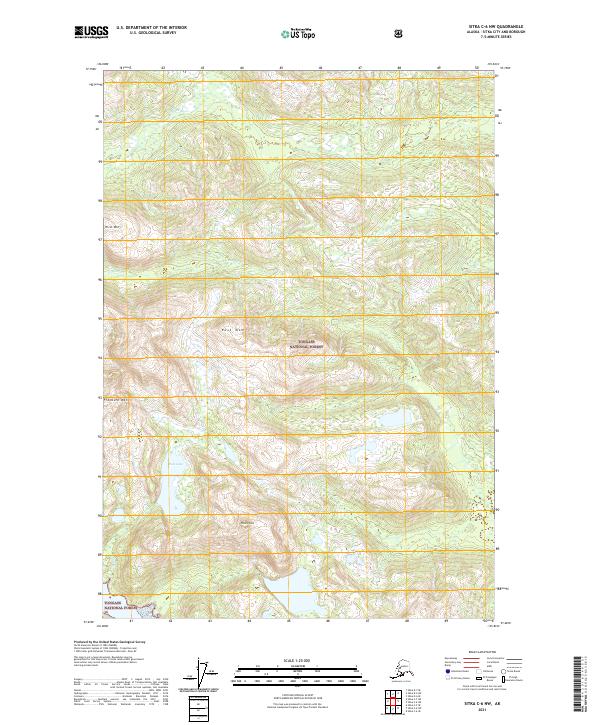
2021 Map of Sitka C-6 NW
USGS Topo · Published 2021About this map
Tongass National Forest dominates this Alaskan landscape, where the terrain is defined by steep ridges and glacial drainages. Significant peaks such as Hirst Mtn, Rust Mtn, and Freeburn Mtn rise sharply from the coastline, while Pinnacle Peak stands as a prominent landmark to the south. The hydrological network is centered on the Black River and the shorter Marble Cr, with the high-elevation Rust Lake feeding into the Rust River system. This 2021 survey illustrates a wilderness nearly untouched by permanent settlement or infrastructure, preserving the drainage patterns of the Alexander Archipelago. The map serves as a precise record of the shoreline and interior topography for this remote section of the Sitka City and Borough.
Find a feature on this map
15 named features on this map. Tap any name to fly to it.
Don’t see what you’re looking for? This feature index may not catch every label — zoom into the map to look around manually.
Map Details
Editions of this 2021 Sitka C-6 NW Map
This is the sole edition of this map. No revisions or reprints were ever made.
Other maps of this area

1948 · Sitka C-7
USGS Topo · 1:63,360

1948 · Sitka C-6
USGS Topo · 1:63,360

1948 · Sitka D-6
USGS Topo · 1:63,360

1951 · Sitka D-7
USGS Topo · 1:63,360

1951 · Sitka
USGS Topo · 1:250,000

1951 · Sitka C-6
USGS Topo · 1:63,360

1951 · Sitka C-7
USGS Topo · 1:63,360

1951 · Sitka D-6
USGS Topo · 1:63,360

1952 · Sitka
USGS Topo · 1:250,000

1964 · Sitka
USGS Topo · 1:250,000