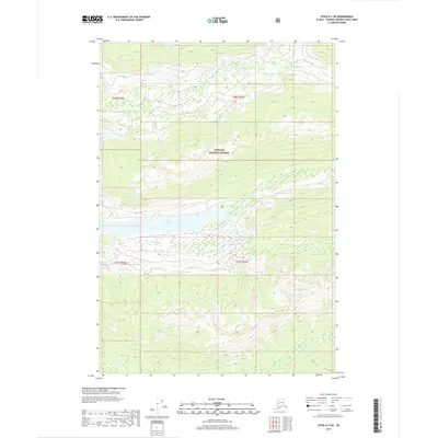
2017 Map of Sitka D-2 SW
USGS Topo · Published 2017About this map
Tongass National Forest dominates this Alaskan landscape, where the terrain is defined by steep elevation changes and significant water bodies. In the center of the quadrangle, Lake Florence stretches across the township boundary between t46s r66e and t46s r67e, serving as a primary hydrological landmark. The drainage system is further marked by Ward Cr flowing through the northern sections and Fishery Cr navigating the southern reaches near the boundary with t47s r67e. This 2017 survey reflects the remote character of the Hoonah-Angoon Census Area, showing an area largely devoid of permanent human settlements or road infrastructure, typical of the protected wilderness areas in the Alaska Panhandle.
Find a feature on this map
8 named features on this map. Tap any name to fly to it.
Don’t see what you’re looking for? This feature index may not catch every label — zoom into the map to look around manually.
Map Details
Editions of this 2017 Sitka D-2 SW Map
This is the sole edition of this map. No revisions or reprints were ever made.
Other maps of this area

1948 · Sitka C-2
USGS Topo · 1:63,360

1948 · Sitka C-3
USGS Topo · 1:63,360

1948 · Sitka D-3
USGS Topo · 1:63,360

1948 · Sitka D-2
USGS Topo · 1:63,360

1951 · Sitka
USGS Topo · 1:250,000

1951 · Sitka D-3
USGS Topo · 1:63,360

1951 · Sitka C-3
USGS Topo · 1:63,360

1951 · Sitka D-2
USGS Topo · 1:63,360

1951 · Sitka C-2
USGS Topo · 1:63,360

1952 · Sitka
USGS Topo · 1:250,000