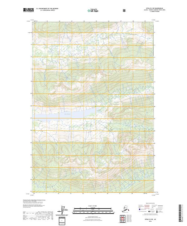
2024 Map of Sitka D-2 SW
USGS Topo · Published 2024About this map
Admiralty Island National Monument defines this landscape in the Hoonah-Angoon area, preserving a significant portion of the island's interior. The map focuses on the complex water systems and protected wilderness designations that characterize this coastal environment. Centrally located, Lake Florence is the primary body of water, acting as a focal point for the surrounding terrain.
Find a feature on this map
12 named features on this map. Tap any name to fly to it.
Don’t see what you’re looking for? This feature index may not catch every label — zoom into the map to look around manually.
Map Details
Editions of this 2024 Sitka D-2 SW Map
This is the sole edition of this map. No revisions or reprints were ever made.
Other maps of this area

1948 · Sitka C-2
USGS Topo · 1:63,360

1948 · Sitka C-3
USGS Topo · 1:63,360

1948 · Sitka D-3
USGS Topo · 1:63,360

1948 · Sitka D-2
USGS Topo · 1:63,360

1951 · Sitka
USGS Topo · 1:250,000

1951 · Sitka D-3
USGS Topo · 1:63,360

1951 · Sitka C-3
USGS Topo · 1:63,360

1951 · Sitka D-2
USGS Topo · 1:63,360

1951 · Sitka C-2
USGS Topo · 1:63,360

1952 · Sitka
USGS Topo · 1:250,000