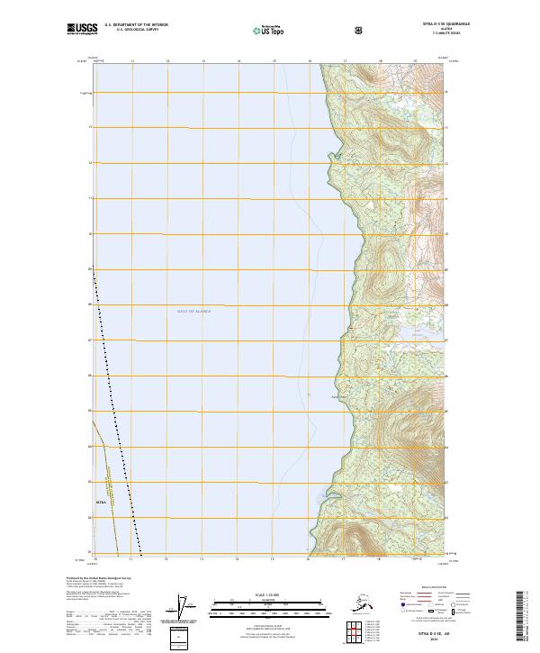
2024 Map of Sitka D-3 SE
USGS Topo · Published 2024About this map
Admiralty Island National Monument dominates the eastern half of this modern topographical study, showcasing a landscape defined by protected wilderness and coastal watersheds. The boundary between the Sitka borough and the Hoonah-Angoon Census Area runs vertically through the open waters of the Gulf of Alaska, marking the administrative divide in this maritime environment. On the island itself, the Kootznoowoo Wilderness preserves a complex network of freshwater and saltwater interfaces. Significant interior features include Lake Florence, which is accessible via the Lake Florence Trail. The map also traces the drainages of Ward Creek and Fishery Creek, the latter of which meets the sea near Fishery Point. This era of the Tongass National Forest reflects a commitment to conservation, maintaining the primitive character of the Admiralty Island coastline without the encroachment of modern road networks.
Find a feature on this map
16 named features on this map. Tap any name to fly to it.
Don’t see what you’re looking for? This feature index may not catch every label — zoom into the map to look around manually.
Map Details
Editions of this 2024 Sitka D-3 SE Map
This is the sole edition of this map. No revisions or reprints were ever made.
Other maps of this area

1948 · Sitka C-2
USGS Topo · 1:63,360

1948 · Sitka C-3
USGS Topo · 1:63,360

1948 · Sitka D-3
USGS Topo · 1:63,360

1948 · Sitka D-2
USGS Topo · 1:63,360

1951 · Sitka
USGS Topo · 1:250,000

1951 · Sitka D-3
USGS Topo · 1:63,360

1951 · Sitka C-3
USGS Topo · 1:63,360

1951 · Sitka D-2
USGS Topo · 1:63,360

1951 · Sitka C-2
USGS Topo · 1:63,360

1952 · Sitka
USGS Topo · 1:250,000