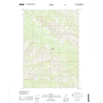
2017 Map of Sitka D-5 NE
USGS Topo · Published 2017About this map
Chichagof Island’s dense coniferous interior is defined by a complex network of salmon-bearing waters and forestry infrastructure within the Tongass National Forest. This 2017 survey details the headwaters and drainage patterns of major riparian systems, including the winding course of Game Creek and the southern reaches of Freshwater Creek. The landscape reflects a legacy of natural resource management, evidenced by named access points and work sites such as Rock Pit and Game Salt. While the terrain is dominated by steep coastal ridges, the presence of labeled logging or forest service roads like Middle Drain illustrates how the United States Forest Service navigated this portion of the Alexander Archipelago. Smaller tributaries, such as N Fork Freshwater Cr and Ten Mile Creek, provide critical context for those studying the island’s hydrological history and the boundaries of the unorganized borough.
Find a feature on this map
18 named features on this map. Tap any name to fly to it.
Don’t see what you’re looking for? This feature index may not catch every label — zoom into the map to look around manually.
Map Details
Editions of this 2017 Sitka D-5 NE Map
This is the sole edition of this map. No revisions or reprints were ever made.
Other maps of this area

1948 · Juneau A-4
USGS Topo · 1:63,360

1948 · Sitka D-5
USGS Topo · 1:63,360

1948 · Sitka D-4
USGS Topo · 1:63,360

1951 · Juneau
USGS Topo · 1:250,000

1951 · Juneau A-5
USGS Topo · 1:63,360

1951 · Sitka
USGS Topo · 1:250,000

1951 · Sitka D-5
USGS Topo · 1:63,360

1952 · Sitka
USGS Topo · 1:250,000

1955 · Sitka D-4
USGS Topo · 1:63,360

1962 · Juneau
USGS Topo · 1:250,000