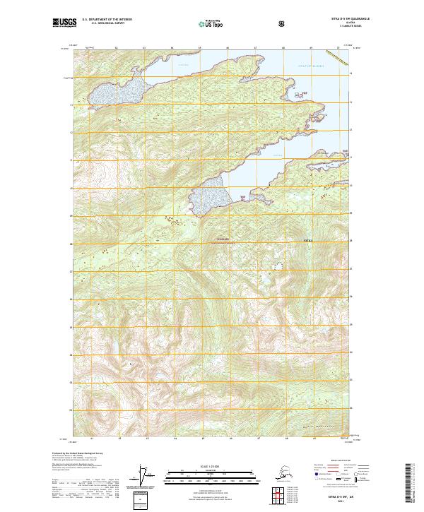
2021 Map of Sitka D-5 SW
USGS Topo · Published 2021About this map
Tongass National Forest dominates this coastal Alaska landscape, where the Chichagof Island coastline meets the Gulf of Alaska. The terrain is characterized by deep glacial indentations such as Long Bay and Seal Bay, which provide protected waters along the otherwise exposed shoreline. These maritime features are framed by significant elevations, including the Moore Mountains in the south and the peak of Sit' Twaayi to the northeast. This 2021 survey illustrates the complex relationship between the high coastal peaks and the maritime inlets within the Sitka City and Borough. The map reflects a landscape managed for conservation and wilderness, showing no significant permanent settlements but detailing the intricate topography of the Alexander Archipelago.
Find a feature on this map
13 named features on this map. Tap any name to fly to it.
Don’t see what you’re looking for? This feature index may not catch every label — zoom into the map to look around manually.
Map Details
Editions of this 2021 Sitka D-5 SW Map
This is the sole edition of this map. No revisions or reprints were ever made.
Other maps of this area

1948 · Sitka D-5
USGS Topo · 1:63,360

1948 · Sitka C-6
USGS Topo · 1:63,360

1948 · Sitka D-6
USGS Topo · 1:63,360

1951 · Sitka C-5
USGS Topo · 1:63,360

1951 · Sitka
USGS Topo · 1:250,000

1951 · Sitka C-6
USGS Topo · 1:63,360

1951 · Sitka D-6
USGS Topo · 1:63,360

1951 · Sitka D-5
USGS Topo · 1:63,360

1952 · Sitka
USGS Topo · 1:250,000

1964 · Sitka
USGS Topo · 1:250,000