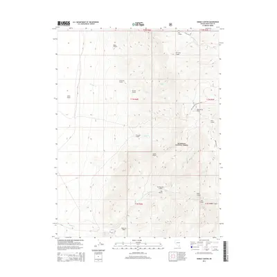
2014 Map of Sixmile Canyon
USGS Topo · Published 2014About this map
The Snake Range dominates this portion of eastern Nevada, where high-altitude drainages and spring-fed creeks define the water-scarce landscape of Humboldt National Forest. Steep-walled canyons such as Sixmile Canyon and Water Canyon drop sharply toward the floor of Spring Valley, while isolated water sources like Sixmile Spring and Fourmile Spring provided essential stopovers in an arid environment. The map details a network of mountain tracks, including the Natl Forest Develop Road 460 Rd and Marble Wash Rd, which serve as the primary access points for this high-desert terrain. In the southern reaches, Negro Cr flows through the Reservoir Basin, illustrating the localized drainage patterns that support life between the peaks of the Snake Range and the valley basins below.
Find a feature on this map
33 named features on this map. Tap any name to fly to it.
Don’t see what you’re looking for? This feature index may not catch every label — zoom into the map to look around manually.
Map Details
Editions of this 2014 Sixmile Canyon Map
This is the sole edition of this map. No revisions or reprints were ever made.
Other maps of this area

1956 · Ely
USGS Topo · 1:250,000

1959 · Ely
USGS Topo · 1:250,000

1959 · Sacramento Pass
USGS Topo · 1:62,500

1963 · Ely
USGS Topo · 1:250,000
1986 · Mount Moriah
USGS Topo · 1:24,000
1986 · Third Butte West
USGS Topo · 1:24,000
1986 · Yelland Dry Lake
USGS Topo · 1:24,000
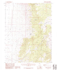
1986 · Sixmile Canyon
USGS Topo · 1:24,000
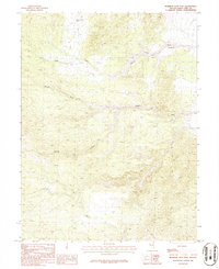
1986 · Mormon Jack Pass
USGS Topo · 1:24,000
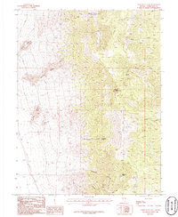
1986 · Third Butte East
USGS Topo · 1:24,000