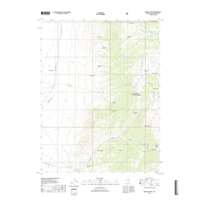
2018 Map of Sixmile Canyon
USGS Topo · Published 2018About this map
The Snake Range dominates this portion of Humboldt National Forest, where a network of steep drainages defines the high-desert terrain. To the west, the landscape flattens into the broad expanse of Spring Valley, accessed by White Pine Co Road 37. The area is marked by critical water sources including Sixmile Spring, Fourmile Spring, and Mud Spring, which likely served as vital waypoints for travelers and livestock in this arid environment. Significant canyons like Sixmile Canyon and Salt Marsh Canyon cut through the mountains, while the Reservoir Basin at the southern edge suggests managed water collection. Historical movement through the range is evidenced by established routes such as the Mud Springs Cutoff and Marble Wash Rd, connecting the higher elevations of the forest to the valley floor.
Find a feature on this map
38 named features on this map. Tap any name to fly to it.
Don’t see what you’re looking for? This feature index may not catch every label — zoom into the map to look around manually.
Map Details
Editions of this 2018 Sixmile Canyon Map
This is the sole edition of this map. No revisions or reprints were ever made.
Other maps of this area

1956 · Ely
USGS Topo · 1:250,000

1959 · Ely
USGS Topo · 1:250,000

1959 · Sacramento Pass
USGS Topo · 1:62,500

1963 · Ely
USGS Topo · 1:250,000
1986 · Mount Moriah
USGS Topo · 1:24,000
1986 · Third Butte West
USGS Topo · 1:24,000
1986 · Yelland Dry Lake
USGS Topo · 1:24,000
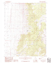
1986 · Sixmile Canyon
USGS Topo · 1:24,000
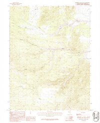
1986 · Mormon Jack Pass
USGS Topo · 1:24,000
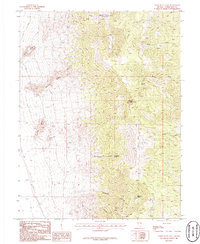
1986 · Third Butte East
USGS Topo · 1:24,000