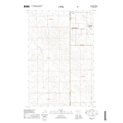
2020 Map of Skaar
USGS Topo · Published 2020About this map
Skaar sits along the northern edge of this map, situated within a remote landscape where the borders of North Dakota and Montana meet. The topography is defined by an intricate network of drainages, including Deadman Cr, Poison Spring Cr, and the branching waters of N Fork Smith Cr and S Fork Smith Cr. These creek beds carve through the high plains, illustrating the natural erosion patterns of the region.
Find a feature on this map
24 named features on this map. Tap any name to fly to it.
Don’t see what you’re looking for? This feature index may not catch every label — zoom into the map to look around manually.
Map Details
Editions of this 2020 Skaar Map
This is the sole edition of this map. No revisions or reprints were ever made.
Other maps of this area

1909 · Glendive
USGS Topo · 1:250,000

1953 · Watford City
USGS Topo · 1:250,000

1954 · Glendive
USGS Topo · 1:250,000

1957 · Glendive
USGS Topo · 1:250,000

1957 · Watford City
USGS Topo · 1:250,000

1958 · Glendive
USGS Topo · 1:250,000

1966 · Skaar NW
USGS Topo · 1:24,000

1967 · Watford City
USGS Topo · 1:250,000

1974 · Hootowl Creek West
USGS Topo · 1:24,000

1974 · Trotters
USGS Topo · 1:24,000