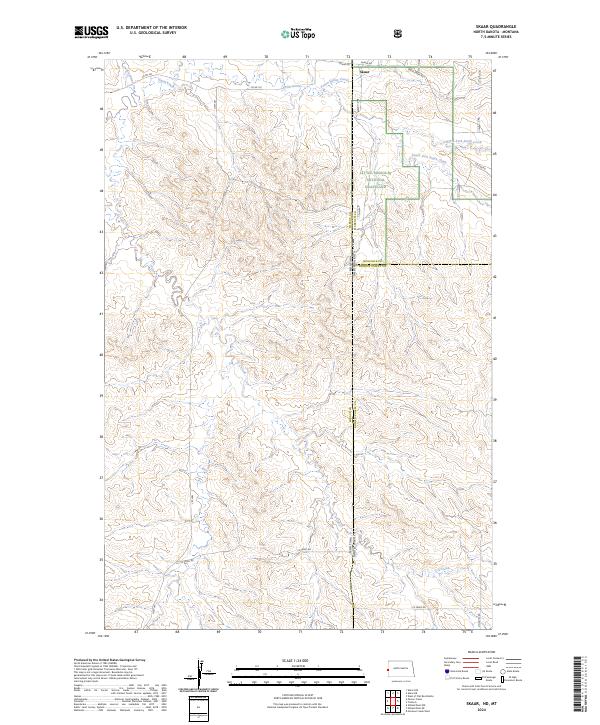
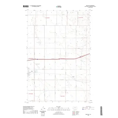
2024 Map of Skaar
USGS Topo · Published 2024About this map
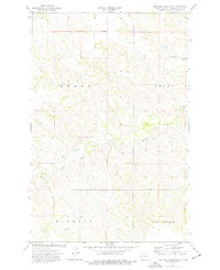
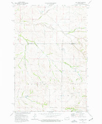
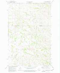
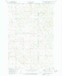
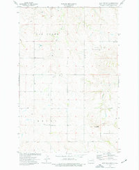
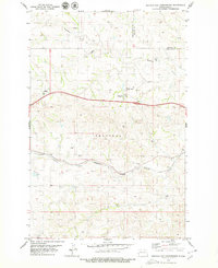
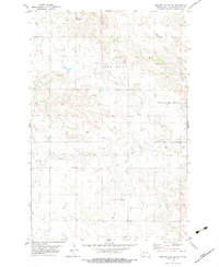
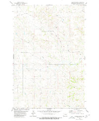
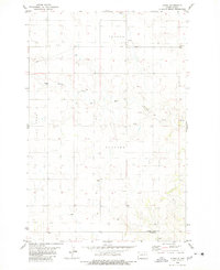
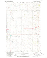
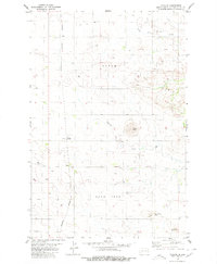
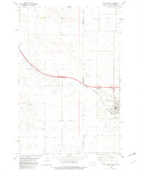
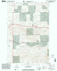
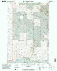
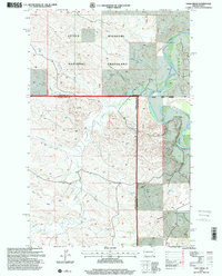
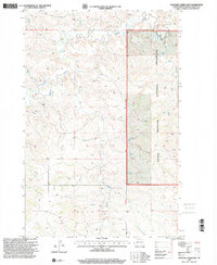
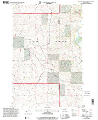
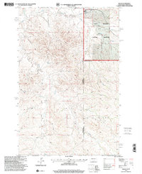
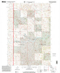
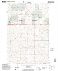
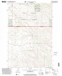
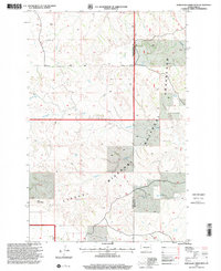
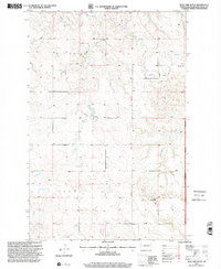
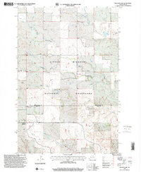
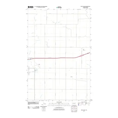
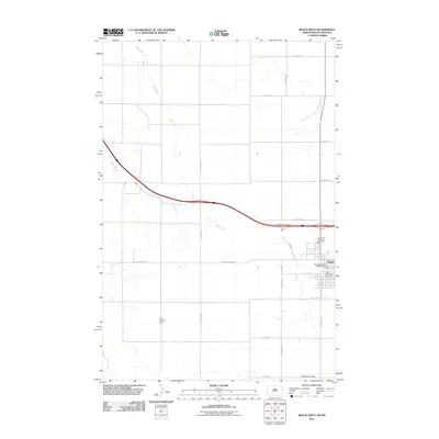
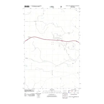
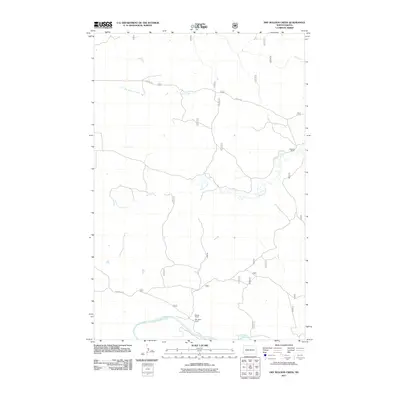
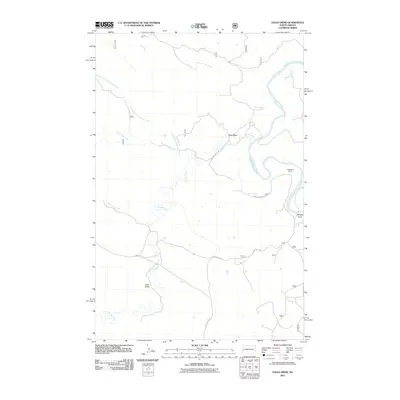
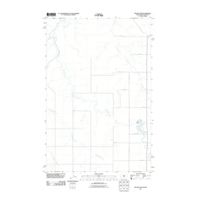
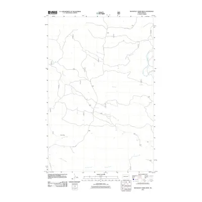
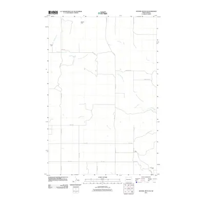
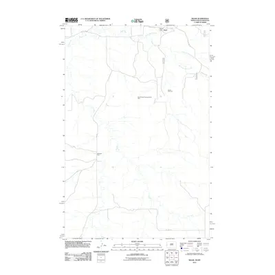
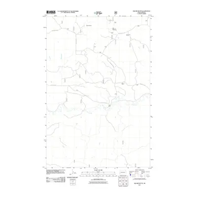
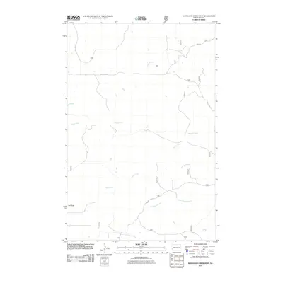
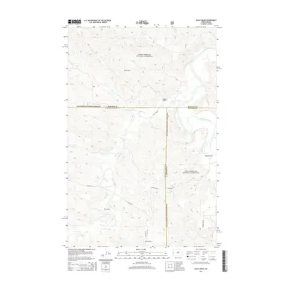
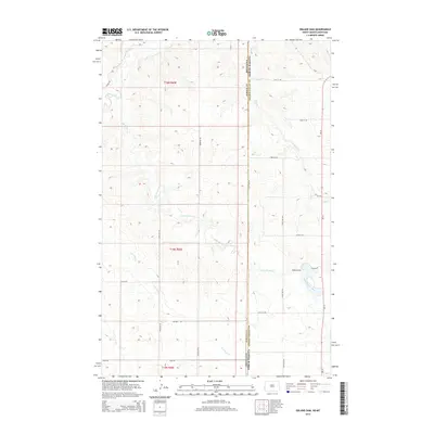
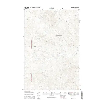
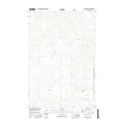
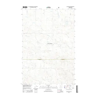
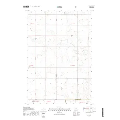
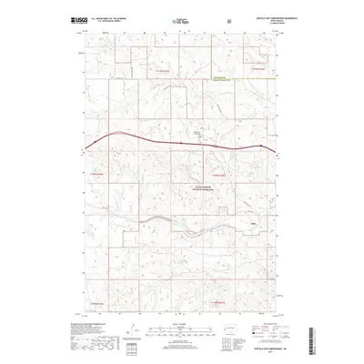
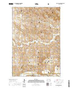
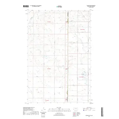
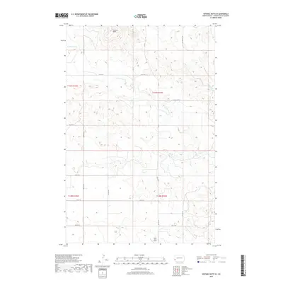
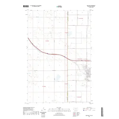
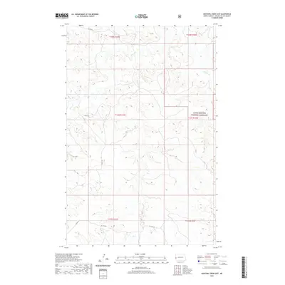
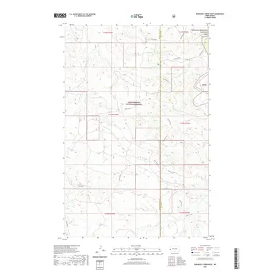
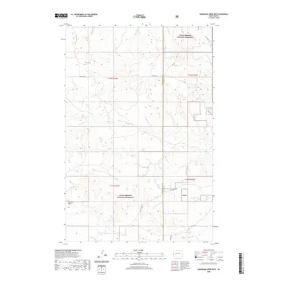
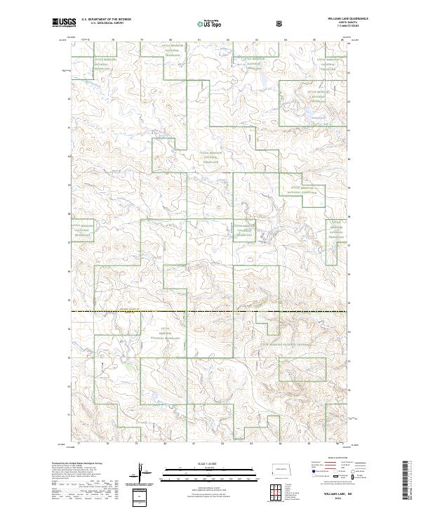
Little Missouri National Grassland dominates the northeastern reaches of this survey, where the rolling breaks of the badlands meet the Montana-North Dakota border. The tiny settlement of Skaar sits near the headwaters of Smith Creek, serving as a remote outpost in a landscape defined by seasonal drainages and cattle country. This modern topographical record captures the intricate network of coulees and ridges that separate the various forks of the Smith Creek system from Cs Creek to the south.
Find a feature on this map
21 named features on this map. Tap any name to fly to it.
Don’t see what you’re looking for? This feature index may not catch every label — zoom into the map to look around manually.
Map Details
Editions of this 2024 Skaar Map
This is the sole edition of this map. No revisions or reprints were ever made.
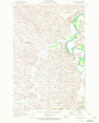
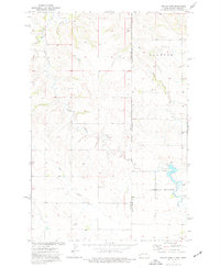
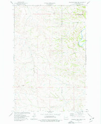
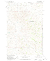
Historical Maps of Skaar Through Time
131 maps found
1970 Eagle Draw
Golden Valley County, ND
1974 Hootowl Creek East
Golden Valley County, ND
1974 Hootowl Creek SW
Golden Valley County, ND
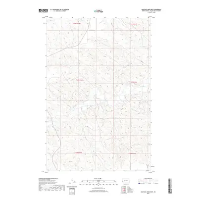
1974 Hootowl Creek West
Golden Valley County, ND
1974 Odland Dam
Golden Valley County, ND
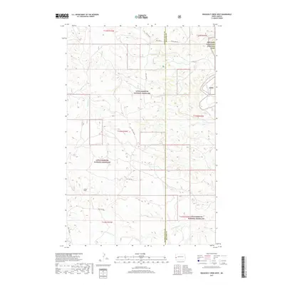
1974 Roosevelt Creek West
Golden Valley County, ND
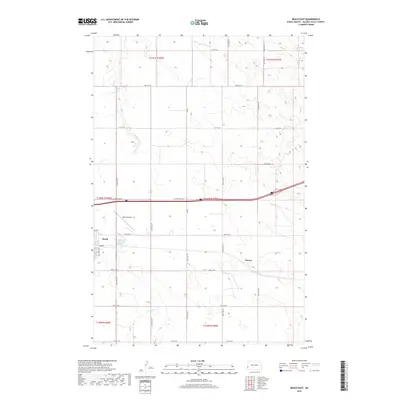
1974 Skaar
Golden Valley County, ND
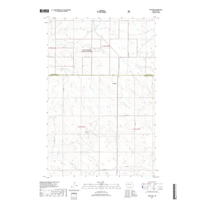
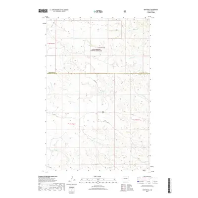
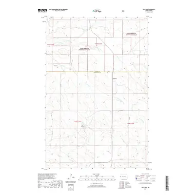
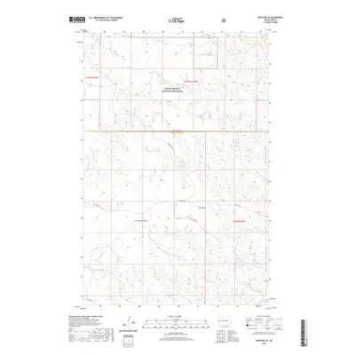
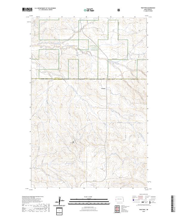
1974 Trotters
Golden Valley County, ND
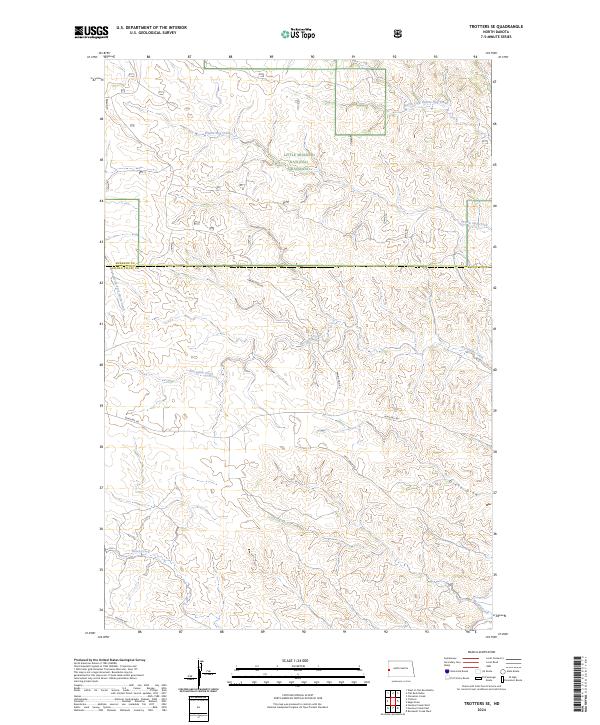
1974 Trotters SE
Golden Valley County, ND
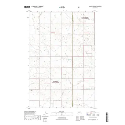
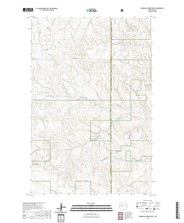
1974 Wannagan Creek West
Golden Valley County, ND
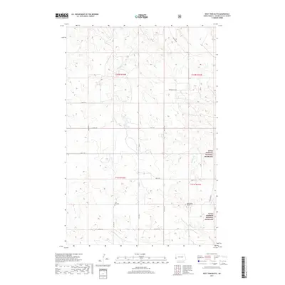
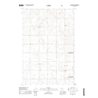
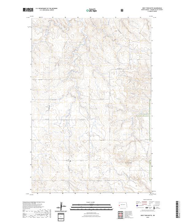
1974 West Twin Butte
Golden Valley County, ND
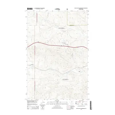
1979 Buffalo Gap Campground
Golden Valley County, ND
1979 Sentinel Butte SE
Golden Valley County, ND
1979 Square Butte
Golden Valley County, ND
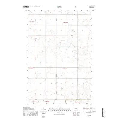
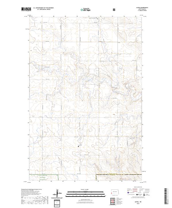
1980 Alpha
Golden Valley County, ND
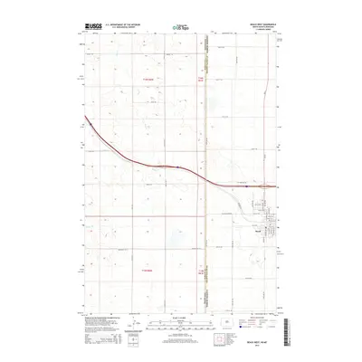
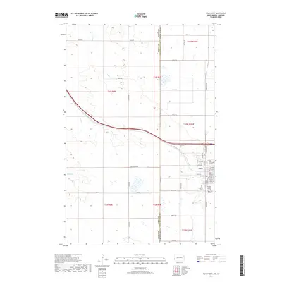
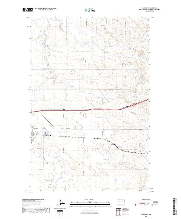
1980 Beach East
Golden Valley County, ND
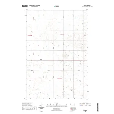
1980 Thelan
Golden Valley County, ND
1982 Beach West
Golden Valley County, ND

1997 Alpha
Golden Valley County, ND
1997 Buffalo Gap Campground
Golden Valley County, ND
1997 Dry Bullion Creek
Golden Valley County, ND
1997 Eagle Draw
Golden Valley County, ND
1997 Hootowl Creek East
Golden Valley County, ND
1997 Roosevelt Creek West
Golden Valley County, ND
1997 Skaar
Golden Valley County, ND
1997 Square Butte
Golden Valley County, ND
1997 Trotters
Golden Valley County, ND
1997 Trotters SE
Golden Valley County, ND
1997 Wannagan Creek West
Golden Valley County, ND
1997 West Twin Butte
Golden Valley County, ND
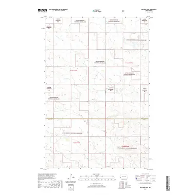
1997 Williams Lake
Golden Valley County, ND
2011 Alpha
Golden Valley County, ND
2011 Beach East
Golden Valley County, ND
2011 Beach West
Golden Valley County, ND
2011 Buffalo Gap Campground
Golden Valley County, ND
2011 Dry Bullion Creek
Golden Valley County, ND
2011 Eagle Draw
Golden Valley County, ND
2011 Hootowl Creek East
Golden Valley County, ND
2011 Hootowl Creek SW
Golden Valley County, ND
2011 Hootowl Creek West
Golden Valley County, ND
2011 Odland Dam
Golden Valley County, ND
2011 Roosevelt Creek West
Golden Valley County, ND
2011 Sentinel Butte SE
Golden Valley County, ND
2011 Skaar
Golden Valley County, ND
2011 Square Butte
Golden Valley County, ND
2011 Thelan
Golden Valley County, ND
2011 Trotters
Golden Valley County, ND
2011 Trotters SE
Golden Valley County, ND
2011 Wannagan Creek West
Golden Valley County, ND
2011 West Twin Butte
Golden Valley County, ND
2011 Williams Lake
Golden Valley County, ND
2014 Alpha
Golden Valley County, ND
2014 Beach East
Golden Valley County, ND
2014 Beach West
Golden Valley County, ND
2014 Buffalo Gap Campground
Golden Valley County, ND
2014 Dry Bullion Creek
Golden Valley County, ND
2014 Eagle Draw
Golden Valley County, ND
2014 Hootowl Creek East
Golden Valley County, ND
2014 Hootowl Creek SW
Golden Valley County, ND
2014 Hootowl Creek West
Golden Valley County, ND
2014 Odland Dam
Golden Valley County, ND
2014 Roosevelt Creek West
Golden Valley County, ND
2014 Sentinel Butte SE
Golden Valley County, ND
2014 Skaar
Golden Valley County, ND
2014 Square Butte
Golden Valley County, ND

2014 Thelan
Golden Valley County, ND
2014 Trotters
Golden Valley County, ND
2014 Trotters SE
Golden Valley County, ND
2014 Wannagan Creek West
Golden Valley County, ND
2014 West Twin Butte
Golden Valley County, ND
2014 Williams Lake
Golden Valley County, ND
2017 Alpha
Golden Valley County, ND
2017 Buffalo Gap Campground
Golden Valley County, ND
2017 Dry Bullion Creek
Golden Valley County, ND
2017 Eagle Draw
Golden Valley County, ND
2017 Hootowl Creek East
Golden Valley County, ND
2017 Hootowl Creek SW
Golden Valley County, ND
2017 Odland Dam
Golden Valley County, ND
2017 Roosevelt Creek West
Golden Valley County, ND
2017 Skaar
Golden Valley County, ND
2017 Trotters
Golden Valley County, ND
2017 Trotters SE
Golden Valley County, ND
2017 Wannagan Creek West
Golden Valley County, ND
2017 West Twin Butte
Golden Valley County, ND
2018 Beach West
Golden Valley County, ND
2018 Sentinel Butte SE
Golden Valley County, ND
2018 Square Butte
Golden Valley County, ND
2018 Thelan
Golden Valley County, ND
2018 Williams Lake
Golden Valley County, ND
2019 Beach East
Golden Valley County, ND
2019 Hootowl Creek West
Golden Valley County, ND
2020 Alpha
Golden Valley County, ND
2020 Beach East
Golden Valley County, ND
2020 Beach West
Golden Valley County, ND
2020 Buffalo Gap Campground
Golden Valley County, ND
2020 Dry Bullion Creek
Golden Valley County, ND
2020 Eagle Draw
Golden Valley County, ND
2020 Hootowl Creek East
Golden Valley County, ND
2020 Hootowl Creek SW
Golden Valley County, ND
2020 Hootowl Creek West
Golden Valley County, ND
2020 Odland Dam
Golden Valley County, ND
2020 Roosevelt Creek West
Golden Valley County, ND
2020 Sentinel Butte SE
Golden Valley County, ND
2020 Skaar
Golden Valley County, ND
2020 Square Butte
Golden Valley County, ND
2020 Thelan
Golden Valley County, ND
2020 Trotters
Golden Valley County, ND
2020 Trotters SE
Golden Valley County, ND
2020 Wannagan Creek West
Golden Valley County, ND
2020 West Twin Butte
Golden Valley County, ND
2020 Williams Lake
Golden Valley County, ND
2024 Alpha
Golden Valley County, ND
2024 Beach East
Golden Valley County, ND
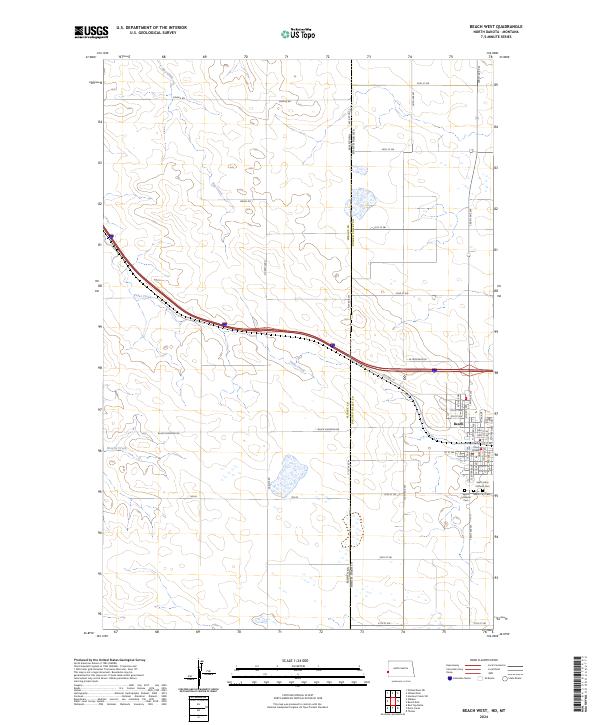
2024 Beach West
Golden Valley County, ND
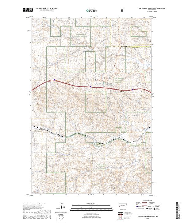
2024 Buffalo Gap Campground
Golden Valley County, ND
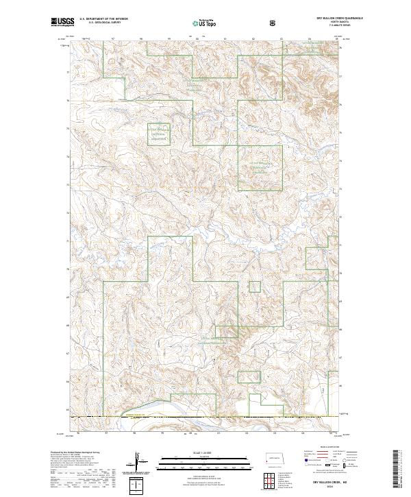
2024 Dry Bullion Creek
Golden Valley County, ND
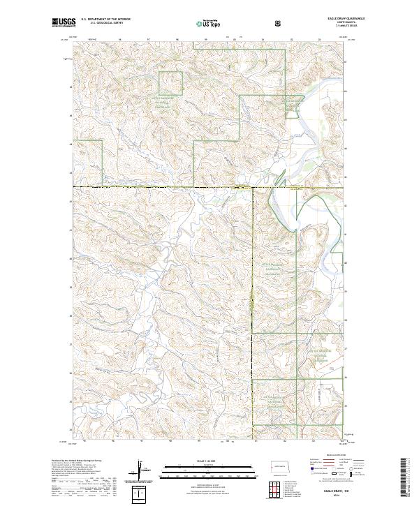
2024 Eagle Draw
Golden Valley County, ND
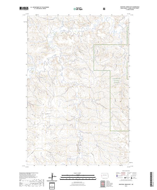
2024 Hootowl Creek East
Golden Valley County, ND
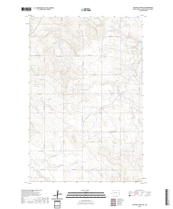
2024 Hootowl Creek SW
Golden Valley County, ND
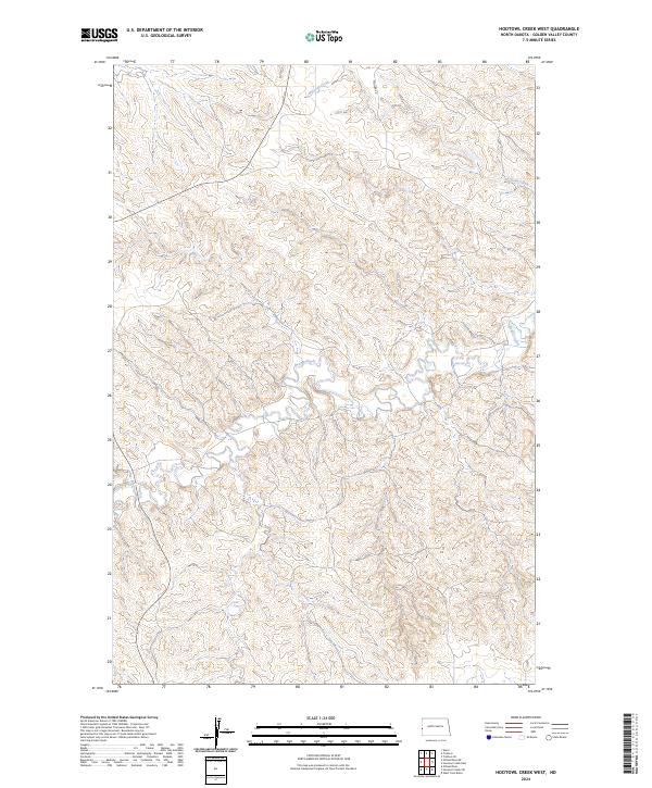
2024 Hootowl Creek West
Golden Valley County, ND
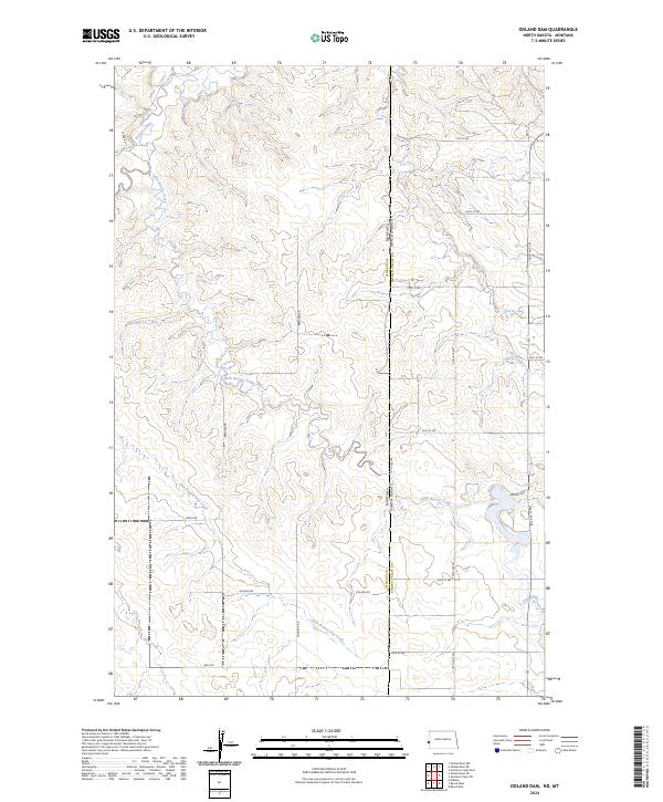
2024 Odland Dam
Golden Valley County, ND
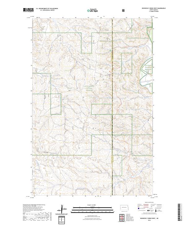
2024 Roosevelt Creek West
Golden Valley County, ND
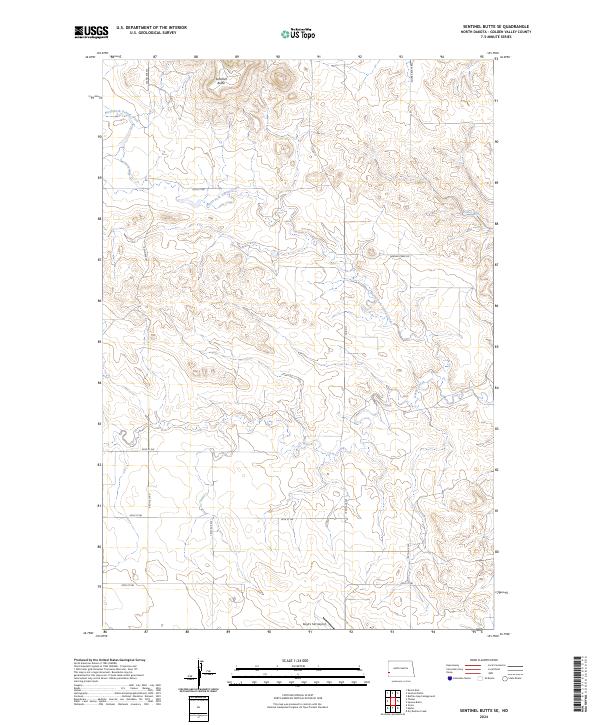
2024 Sentinel Butte SE
Golden Valley County, ND
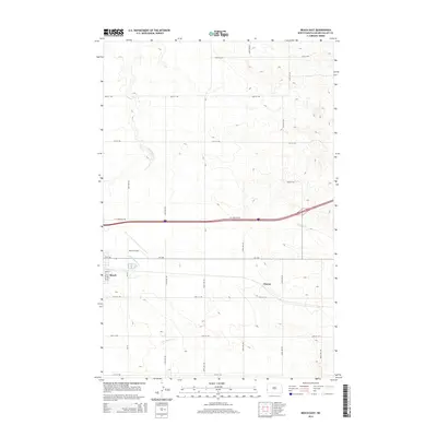
2024 Skaar
Golden Valley County, ND
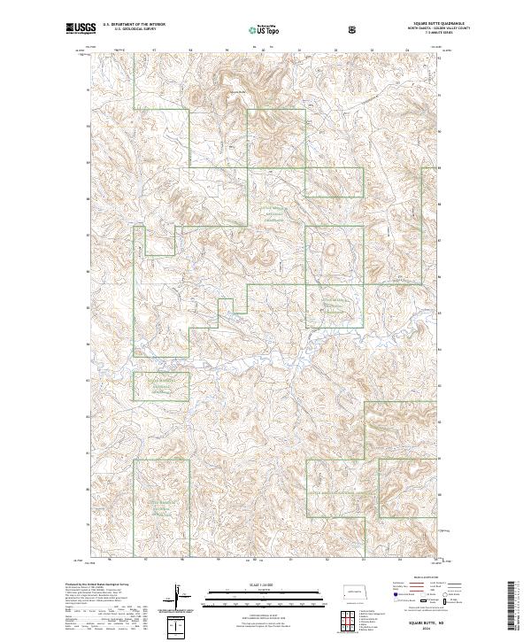
2024 Square Butte
Golden Valley County, ND
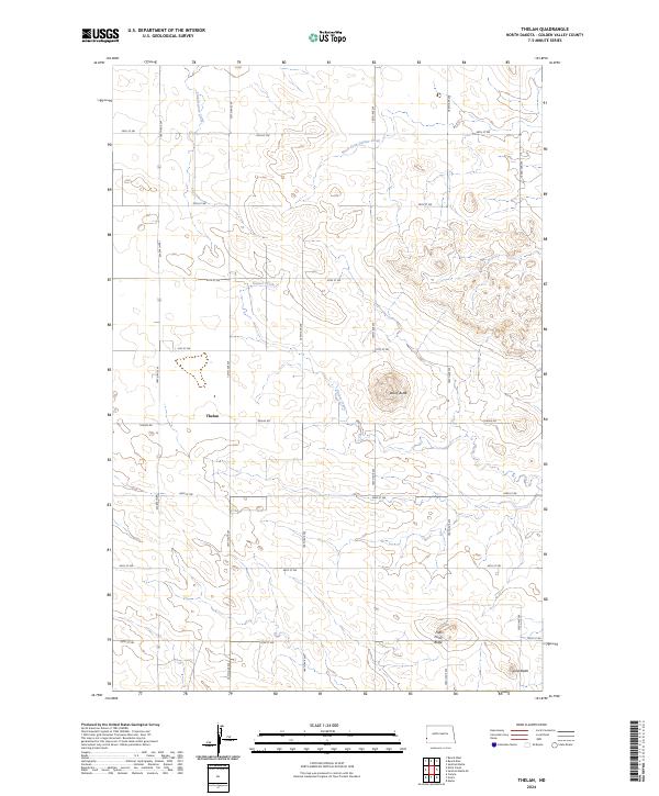
2024 Thelan
Golden Valley County, ND
2024 Trotters
Golden Valley County, ND
2024 Trotters SE
Golden Valley County, ND
2024 Wannagan Creek West
Golden Valley County, ND
2024 West Twin Butte
Golden Valley County, ND
2024 Williams Lake
Golden Valley County, ND