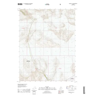
2017 Map of Skagway A-2 SW
USGS Topo · Published 2017About this map
The Chilkat Range dominates this portion of the Alaskan panhandle, marking a high-elevation boundary between massive protected wilderness areas. This topographic record delineates the administrative intersection of Glacier Bay National Park and the Tongass National Forest, showcasing a landscape shaped by ice and elevation rather than human settlement. The boundary between the Haines Borough Hoonah-Angoon Census Area follows the high ridges, including the prominent peak of Mt Rice. There are no roads or developed sites shown, only the stark topography of the coastal mountains as they appeared in the early twenty-first century.
Find a feature on this map
9 named features on this map. Tap any name to fly to it.
Don’t see what you’re looking for? This feature index may not catch every label — zoom into the map to look around manually.
Map Details
Editions of this 2017 Skagway A-2 SW Map
This is the sole edition of this map. No revisions or reprints were ever made.
Other maps of this area

1949 · Juneau D-6
USGS Topo · 1:63,360

1949 · Juneau D-5
USGS Topo · 1:63,360

1951 · Juneau
USGS Topo · 1:250,000

1952 · Skagway
USGS Topo · 1:250,000

1954 · Skagway A-3
USGS Topo · 1:63,360

1954 · Skagway A-2
USGS Topo · 1:63,360

1961 · Skagway
USGS Topo · 1:250,000

1962 · Juneau
USGS Topo · 1:250,000
1991 · Skagway A-2 NE
USGS Topo · 1:25,000
1996 · Juneau D-5
USGS Topo · 1:63,360