
1954 Map of Skagway A-3
USGS Topo · Published 1959About this map
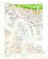
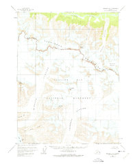
Glacier Bay National Monument dominates this mid-century survey, revealing a landscape defined by massive ice fields and the high peaks of the Takhinsha Mountains. Based on 1948 aerial photography, the map documents the extent of several significant glacial systems, including the sprawling Casement Glacier and McBride Glacier, which flow toward the waters of Muir Inlet. The absence of roads or trails highlights the isolation of this wilderness during the 1950s.
Find a feature on this map
15 named features on this map. Tap any name to fly to it.
Don’t see what you’re looking for? This feature index may not catch every label — zoom into the map to look around manually.
Map Details
Editions of this 1954 Skagway A-3 Map
3 editions found
Other maps of this area

1948 · Mount Fairweather D-1
USGS Topo · 1:63,360

1949 · Juneau D-6
USGS Topo · 1:63,360

1951 · Juneau
USGS Topo · 1:250,000

1951 · Mt Fairweather
USGS Topo · 1:250,000

1952 · Skagway
USGS Topo · 1:250,000

1954 · Mount Fairweather D-1
USGS Topo · 1:63,360

1954 · Skagway B-2
USGS Topo · 1:63,360

1954 · Skagway A-2
USGS Topo · 1:63,360

1954 · Skagway B-3
USGS Topo · 1:63,360

1954 · Skagway B-4
USGS Topo · 1:63,360