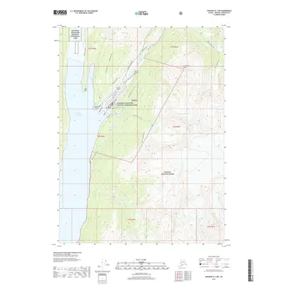
2017 Map of Skagway B-1 NW
USGS Topo · Published 2017About this map
Skagway serves as the focal point of this coastal survey, where the Skagway River meets the waters of the Lynn Canal. The town’s historical identity as a gateway for prospectors is etched into the landscape via the Klondike Gold Rush National Historical Park and the Gold Rush Cem (Historic). The layout reveals a transit-dependent economy, from the Skagway Airport and maritime access at Terminal Way to the inland route of the Klondike Highway.
Find a feature on this map
49 named features on this map. Tap any name to fly to it.
Don’t see what you’re looking for? This feature index may not catch every label — zoom into the map to look around manually.
Map Details
Editions of this 2017 Skagway B-1 NW Map
This is the sole edition of this map. No revisions or reprints were ever made.
Other maps of this area

1948 · Skagway C-2
USGS Topo · 1:63,360

1948 · Skagway C-1
USGS Topo · 1:63,360

1949 · Skagway B-1
USGS Topo · 1:63,360

1951 · Skagway C-1
USGS Topo · 1:63,360

1951 · Skagway B-1
USGS Topo · 1:63,360

1951 · Skagway C-2
USGS Topo · 1:63,360

1952 · Skagway
USGS Topo · 1:250,000

1954 · Skagway B-2
USGS Topo · 1:63,360

1961 · Skagway
USGS Topo · 1:250,000
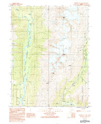
1991 · Skagway C-1 SW
USGS Topo · 1:25,000