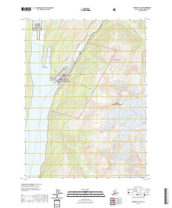
2021 Map of Skagway B-1 NW
USGS Topo · Published 2021About this map
Skagway serves as the focal point for this survey, situated where the Skagway River meets the head of the Lynn Canal. The town's layout is defined by historic corridors like Broadway and Main Street, with the McCabe Building - Skagway Courthouse standing as a central landmark. The landscape is deeply tied to the history of the gold rush, preserved through the Klondike Gold Rush National Historical Park and the Gold Rush Cem located north of the town site. Beyond the inhabited areas, the terrain rises sharply toward Twin Dewey Peaks and the Tongass National Forest. Access to the interior is marked by the Klondike Highway and a network of trails such as the Icy Lake / Upper Reid Falls Trl and the Sturgill's Landing Trl, which follow the steep topography and glacial drainages including Reid Cr and Dewey Cr.
Find a feature on this map
44 named features on this map. Tap any name to fly to it.
Don’t see what you’re looking for? This feature index may not catch every label — zoom into the map to look around manually.
Map Details
Editions of this 2021 Skagway B-1 NW Map
This is the sole edition of this map. No revisions or reprints were ever made.
Other maps of this area

1948 · Skagway C-2
USGS Topo · 1:63,360

1948 · Skagway C-1
USGS Topo · 1:63,360

1949 · Skagway B-1
USGS Topo · 1:63,360

1951 · Skagway C-1
USGS Topo · 1:63,360

1951 · Skagway B-1
USGS Topo · 1:63,360

1951 · Skagway C-2
USGS Topo · 1:63,360

1952 · Skagway
USGS Topo · 1:250,000

1954 · Skagway B-2
USGS Topo · 1:63,360

1961 · Skagway
USGS Topo · 1:250,000
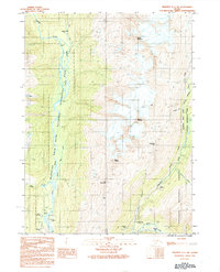
1991 · Skagway C-1 SW
USGS Topo · 1:25,000