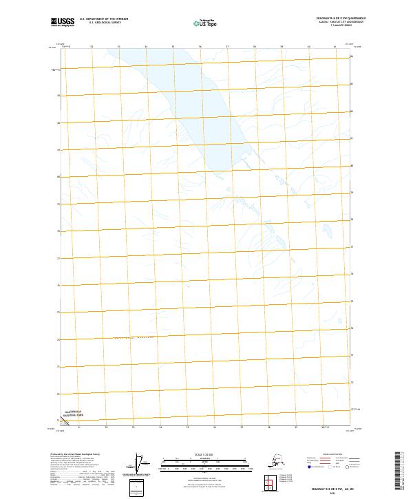
2021 Map of Skagway B-8 OE E SW
USGS Topo · Published 2021About this map
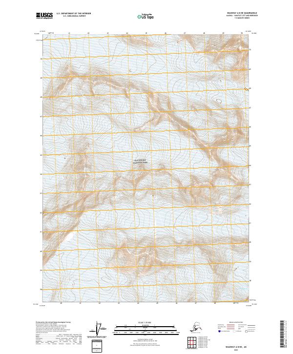
The Saint Elias Mountains dominate this high-altitude landscape along the northwestern frontier of Alaska. This specialized 2021 survey details a remote section of Glacier Bay National Park, where the high peaks meet the international boundary of Canada USA. Unlike many coastal Alaskan maps, this sheet focuses on the interior glacial terrain and high mountain reaches rather than marine inlets. The hydrographic patterns here reflect the drainage of massive ice fields and meltwater systems that define the park's wilderness character. This modern mapping effort provides a precise look at the shifting glacial geography and physical boundaries in one of North America's most protected and inaccessible mountain ranges.
Find a feature on this map
3 named features on this map. Tap any name to fly to it.
Don’t see what you’re looking for? This feature index may not catch every label — zoom into the map to look around manually.
Map Details
Editions of this 2021 Skagway B-8 OE E SW Map
This is the sole edition of this map. No revisions or reprints were ever made.
Other maps of this area

1952 · Skagway
USGS Topo · 1:250,000

1961 · Skagway A-7
USGS Topo · 1:63,360
1961 · Skagway B-8
USGS Topo · 1:63,360

1961 · Skagway A-8
USGS Topo · 1:63,360

1961 · Skagway
USGS Topo · 1:250,000
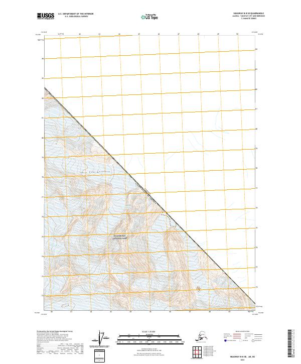
2021 · Skagway B-8 SE
USGS Topo · 1:25,000
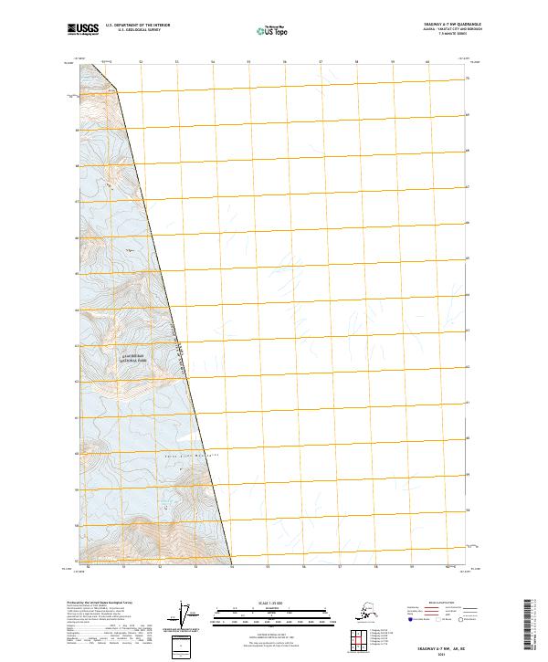
2021 · Skagway A-7 NW
USGS Topo · 1:25,000
2021 · Skagway A-8 NE
USGS Topo · 1:25,000