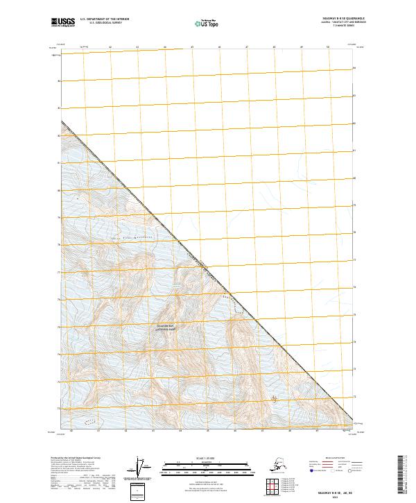
2021 Map of Skagway B-8 SE
USGS Topo · Published 2021About this map
The high-altitude peaks of the Saint Elias Mountains dominate this remote northern landscape, where massive ice fields and steep contours define the wilderness. Much of the terrain falls within the protected boundaries of Glacier Bay National Park, preserving a vast area of glacial activity and alpine ecology. Along the northeastern edge of the map, the international border is clearly delineated, marking the boundary of Canada United States of America. This 2021 survey utilizes SPOT imagery to document the shifting ice and topography of a region where human infrastructure is entirely absent, replaced by the natural surveying markers of the Public Land Survey System, including townships t30s r46e and t31s r45e.
Find a feature on this map
7 named features on this map. Tap any name to fly to it.
Don’t see what you’re looking for? This feature index may not catch every label — zoom into the map to look around manually.
Map Details
Editions of this 2021 Skagway B-8 SE Map
This is the sole edition of this map. No revisions or reprints were ever made.
Other maps of this area

1952 · Skagway
USGS Topo · 1:250,000

1961 · Skagway A-7
USGS Topo · 1:63,360
1961 · Skagway B-8
USGS Topo · 1:63,360

1961 · Skagway A-8
USGS Topo · 1:63,360

1961 · Skagway
USGS Topo · 1:250,000
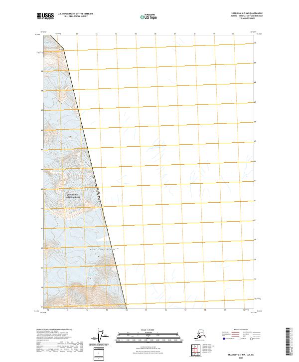
2021 · Skagway A-7 NW
USGS Topo · 1:25,000
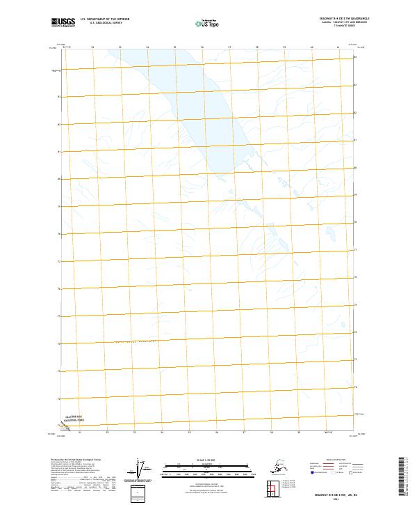
2021 · Skagway B-8 OE E SW
USGS Topo · 1:25,000
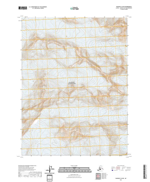
2021 · Skagway A-8 NE
USGS Topo · 1:25,000
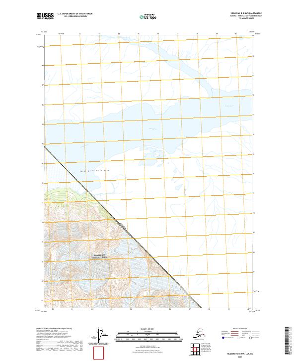
2021 · Skagway B-8 NW
USGS Topo · 1:25,000
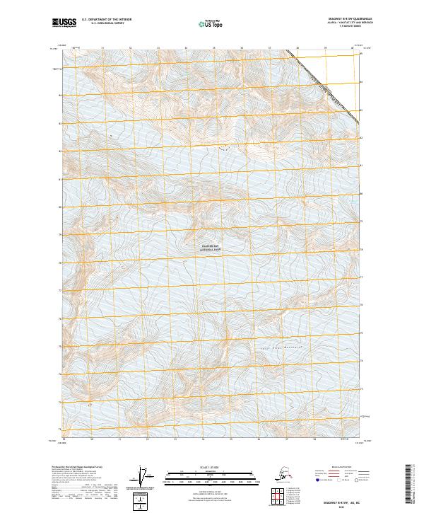
2021 · Skagway B-8 SW
USGS Topo · 1:25,000