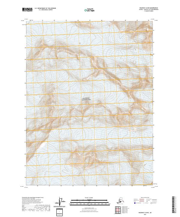
2021 Map of Skagway A-8 NE
USGS Topo · Published 2021About this map
Glacier Bay National Park dominates this landscape, preserving a massive expanse of glacial ice and towering peaks within the Saint Elias Mountains. This 2021 topographic record of the Yakutat City and Borough region captures the intricate contour patterns of a high-altitude wilderness where natural forces remain the primary architects. Without roads or permanent settlements, the area is defined by the slow movement of ice, most notably the Grand Plateau Glacier and the Fairweather Glacier. These features represent a frozen dynamic system, where the sheer density of elevation contours indicates the extreme verticality of the terrain. The presence of these named ice fields provides critical spatial data for researchers tracking the movement and extent of glaciers in one of the most remote sections of Southeast Alaska.
Find a feature on this map
8 named features on this map. Tap any name to fly to it.
Don’t see what you’re looking for? This feature index may not catch every label — zoom into the map to look around manually.
Map Details
Editions of this 2021 Skagway A-8 NE Map
This is the sole edition of this map. No revisions or reprints were ever made.
Other maps of this area

1952 · Skagway
USGS Topo · 1:250,000

1961 · Skagway A-7
USGS Topo · 1:63,360
1961 · Skagway B-8
USGS Topo · 1:63,360

1961 · Skagway A-8
USGS Topo · 1:63,360

1961 · Skagway
USGS Topo · 1:250,000
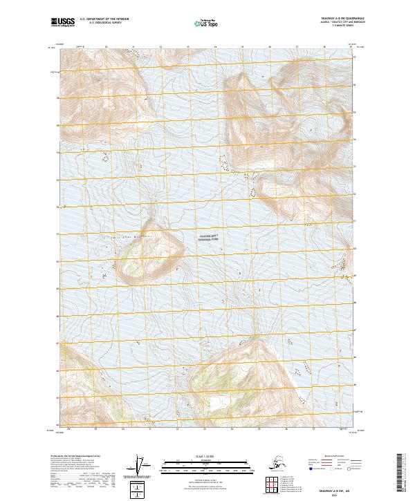
2021 · Skagway A-8 SW
USGS Topo · 1:25,000
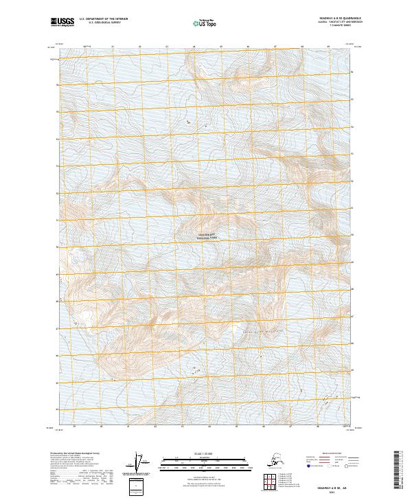
2021 · Skagway A-8 SE
USGS Topo · 1:25,000
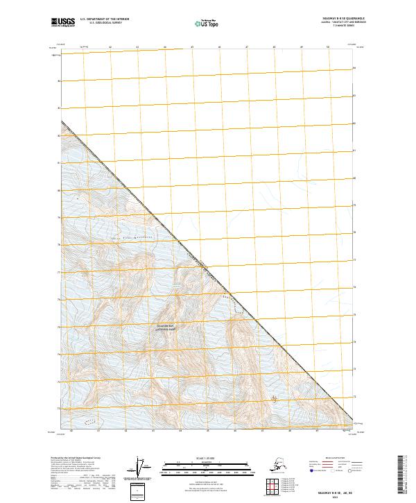
2021 · Skagway B-8 SE
USGS Topo · 1:25,000
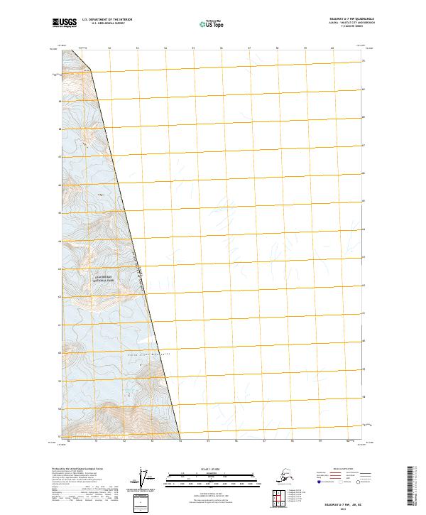
2021 · Skagway A-7 NW
USGS Topo · 1:25,000
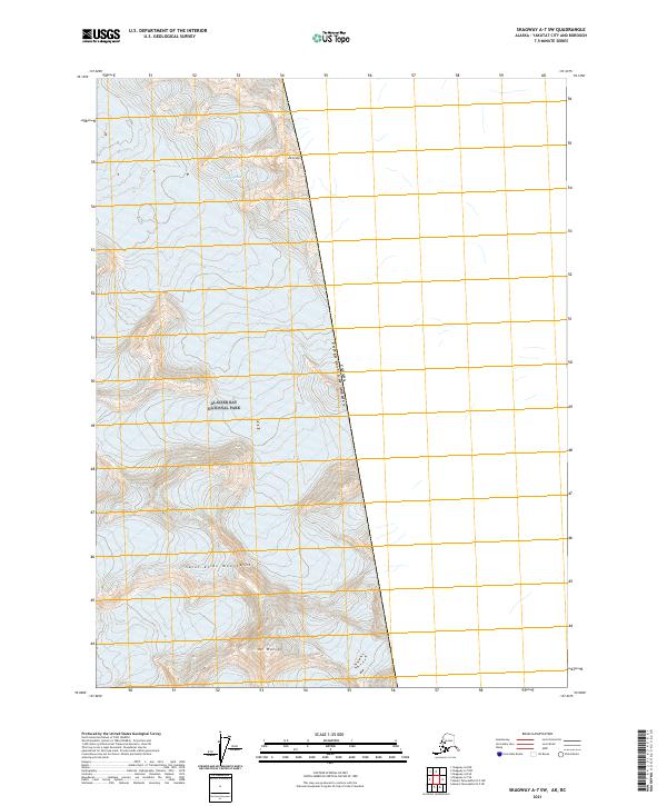
2021 · Skagway A-7 SW
USGS Topo · 1:25,000