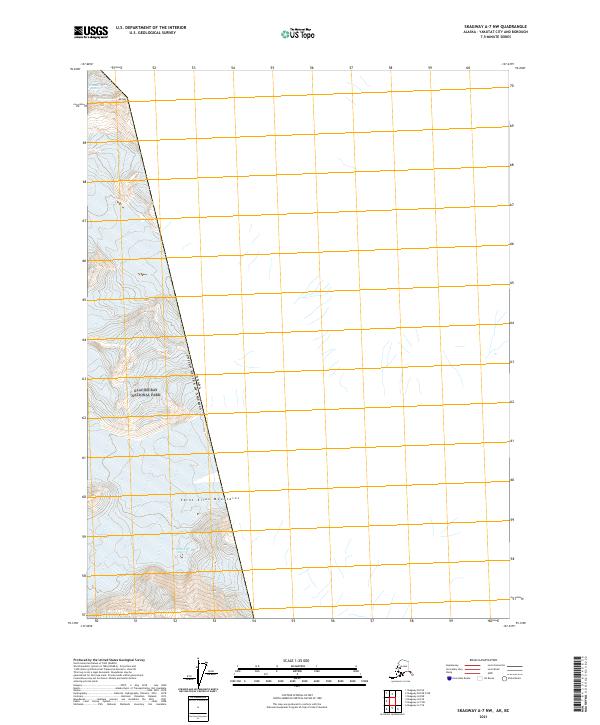
2021 Map of Skagway A-7 NW
USGS Topo · Published 2021About this map
Glacier Bay National Park dominates the rugged landscape of this 2021 survey, where the ice-dominated terrain of the Saint Elias Mountains meets the international boundary between the United States and Canada. This map provides a detailed view of the high-elevation glacial environment, specifically highlighting the Grand Plateau Glacier as it flows through the southeastern portion of the quadrangle. The elevation peaks at Mt Hay in the north, showing the stark topographical relief of the region. The map is defined by its lack of human infrastructure, focusing instead on the natural borders and the vast ice fields that characterize this protected wilderness area. This documentation captures the precise extent of the glacial cover and mountain peaks as they stood in the early 21st century, serving as a baseline for understanding the evolving frozen geography of the Alaskan Panhandle.
Find a feature on this map
9 named features on this map. Tap any name to fly to it.
Don’t see what you’re looking for? This feature index may not catch every label — zoom into the map to look around manually.
Map Details
Editions of this 2021 Skagway A-7 NW Map
This is the sole edition of this map. No revisions or reprints were ever made.
Other maps of this area

1952 · Skagway
USGS Topo · 1:250,000

1961 · Skagway A-7
USGS Topo · 1:63,360
1961 · Skagway B-8
USGS Topo · 1:63,360

1961 · Skagway A-8
USGS Topo · 1:63,360

1961 · Skagway
USGS Topo · 1:250,000
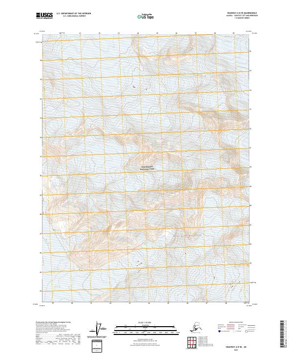
2021 · Skagway A-8 SE
USGS Topo · 1:25,000
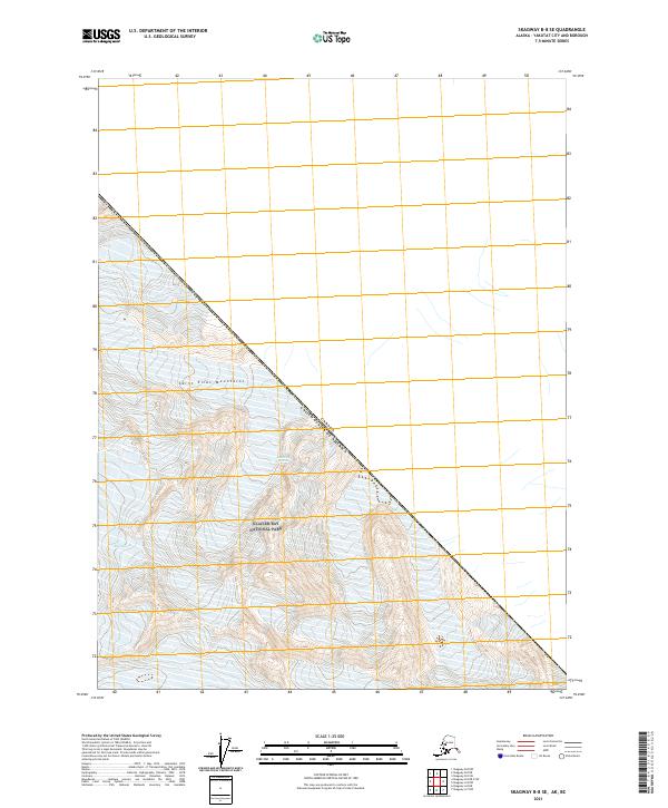
2021 · Skagway B-8 SE
USGS Topo · 1:25,000
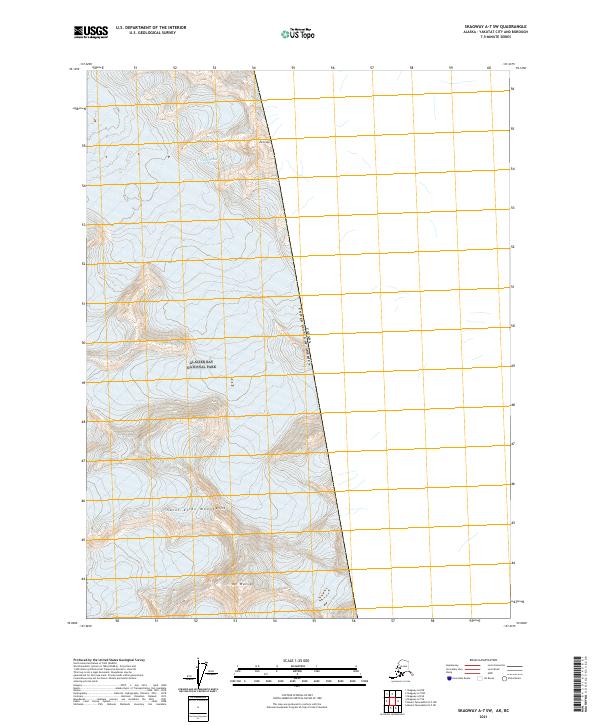
2021 · Skagway A-7 SW
USGS Topo · 1:25,000
2021 · Skagway B-8 OE E SW
USGS Topo · 1:25,000
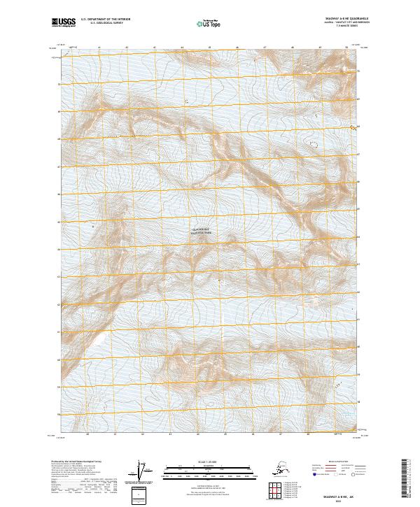
2021 · Skagway A-8 NE
USGS Topo · 1:25,000