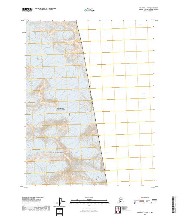
2021 Map of Skagway A-7 SW
USGS Topo · Published 2021About this map
Glacier Bay National Park dominates this section of the Alsek River watershed along the boundary between the United States of America and Canada. The high-elevation terrain is defined by the massive peaks of the Saint Elias Mountains, where steep ice fields and glaciers are documented by detailed contour work. Significant peaks such as Mt Watson and Mt Lodge anchor the landscape, providing essential survey points for mountaineers and cartographers in this glaciated wilderness. The map details the Public Land Survey System grid, including t33s r47e and surrounding townships, illustrating how these administrative boundaries were projected over the extreme topography of Southeast Alaska and the Yakutat Borough.
Find a feature on this map
11 named features on this map. Tap any name to fly to it.
Don’t see what you’re looking for? This feature index may not catch every label — zoom into the map to look around manually.
Map Details
Editions of this 2021 Skagway A-7 SW Map
This is the sole edition of this map. No revisions or reprints were ever made.
Other maps of this area

1951 · Mt Fairweather
USGS Topo · 1:250,000

1952 · Skagway
USGS Topo · 1:250,000

1961 · Skagway A-7
USGS Topo · 1:63,360

1961 · Mount Fairweather D-5
USGS Topo · 1:63,360

1961 · Skagway A-8
USGS Topo · 1:63,360

1961 · Mt Fairweather
USGS Topo · 1:250,000

1961 · Skagway
USGS Topo · 1:250,000
2017 · Mount Fairweather D-5 NW
USGS Topo · 1:25,000
2017 · Mount Fairweather D-5 NE
USGS Topo · 1:25,000
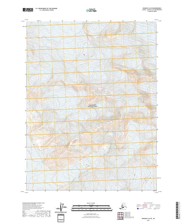
2021 · Skagway A-8 SE
USGS Topo · 1:25,000