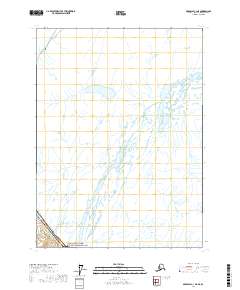
2017 Map of Skagway C-1 NE
USGS Topo · Published 2017About this map
Klondike Gold Rush National Historical Park occupies the southwestern corner of this map, representing a protected landscape tied to the legendary 1890s northern migration. The terrain is dominated by a complex network of glacial meltwater streams and unnamed alpine lakes that flow toward the coast. This map illustrates the intersection of the Alaska Skagway Municipality and the international boundary of the Canada United States of America, highlighting a region where political borders were historically defined by the high crests of the coastal ranges. The lack of road infrastructure and named settlements within this 2017 study emphasizes the persistent isolation of the interior peaks beyond the immediate Gold Rush corridor, preserved as part of the public land system under T26s R60e.
Find a feature on this map
4 named features on this map. Tap any name to fly to it.
Don’t see what you’re looking for? This feature index may not catch every label — zoom into the map to look around manually.
Map Details
Editions of this 2017 Skagway C-1 NE Map
This is the sole edition of this map. No revisions or reprints were ever made.
Other maps of this area

1948 · Skagway C-1
USGS Topo · 1:63,360

1949 · Atlin
USGS Topo · 1:250,000

1951 · Skagway C-1
USGS Topo · 1:63,360

1951 · Atlin
USGS Topo · 1:250,000

1952 · Skagway
USGS Topo · 1:250,000

1960 · Atlin
USGS Topo · 1:250,000

1961 · Skagway
USGS Topo · 1:250,000
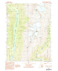
1991 · Skagway C-1 SW
USGS Topo · 1:25,000
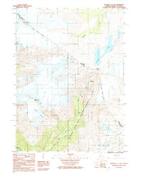
1992 · Skagway C-1 NW
USGS Topo · 1:25,000
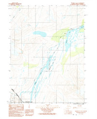
1992 · Skagway C-1 NE
USGS Topo · 1:25,000